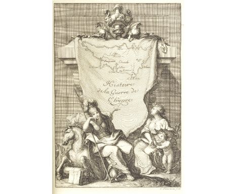
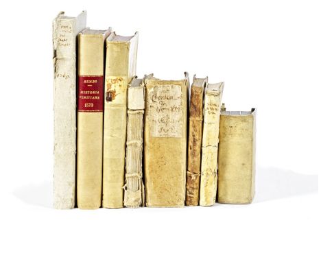
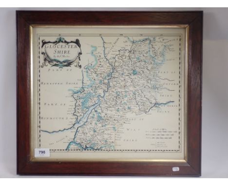
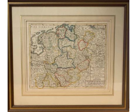
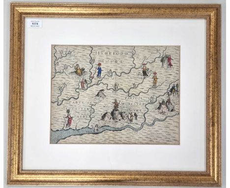
BEMBO (PIETRO)Della historia vinitiana, first Italian edition, woodcut device on title and on verso of colophon, historiated initials, faded early ownership inscription on title, title soiled, light dampstaining throughout, opening pages reinforced at hinges, later half vellum [Adams B599], 4to, Venice, Gualtiero Scotto, 1552--PACIFICO (PIETRO ANTONIO) Cronica Veneta. Overo succinto racconto di tutte le cose piu cospicue & antiche della citta di Venezia, double-page additional pictorial title with map of Venice, 3 folding engraved plates, some tears with loss to text on 2 leaves (K9, Y4); BRACCOLANI (FRANCESCO) Breve notitia della fondatione dell'isola di San Nicolo detto de' Mendicoli, 2 works bound in 1 vol., early ownership inscription on both titles, uncut, spotting and water-staining throughout, 8vo, Venice, Domenico Lovisa, 1709; Repertorio generale delle Ville, e comuni di tutte le provincie della Terra ferma suddita della Serenissima Repubblica di Venezia, FIRST EDITION, grey paper boards, minor wear to spine, large 8vo, Venice, Figluoli del Qu. Z. Antonio Pinelli, 1769--(BARDI) GIROLAMO Delle cose notabili della citta di Venetia. Libri II, 2 parts in 1 vol., faded stamp to first title, ink scribbling to verso of last leaf, damp-staining throughout, contemporary vellum, worn, 8vo, Venice, Altobello Salicato, 1601--PRUDENTIUS (AURELIUS) Opera, 1625; LUCANUS (A.) De bello Claudius et Pompeii, 1627; CLAUDIANUS. [Opera], 1627, 3 works bound in 1 vol., engraved titles, toning, contemporary vellum, 24mo, Amsterdam, William Jansson--BOTERO (GIOVANNI) Relatione della Republica Venetiana, 2 parts in 1 vol.,woodcut device on titles, early ownership inscriptions to first flyleaf and title page of first work, damp-staining, grey wrappers, worn, 8vo, Venice, Giorgio Varisco, 1608--CONTARINI (GASPARO) La Republica, e i magistrati di Vinegia, small hole and small repair affecting text to title and following 2 leaves, damp-staining and some marginal repairs, contemporary vellum, worn, 12mo, Venice, Baldo Sabini, 1551; and another copy of the first mentioned item (8)This lot is subject to the following lot symbols: •• Zero rated for VAT, no VAT will be added to the Hammer Price or the Buyer's Premium.For further information on this lot please visit Bonhams.com
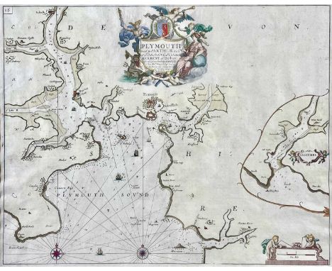

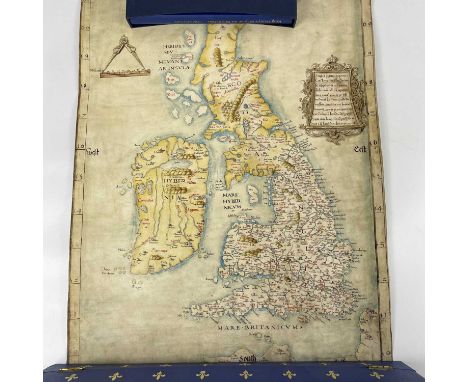
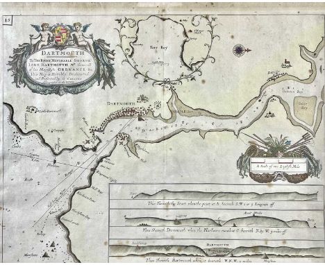
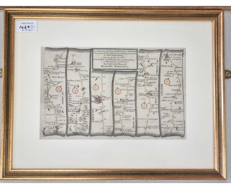
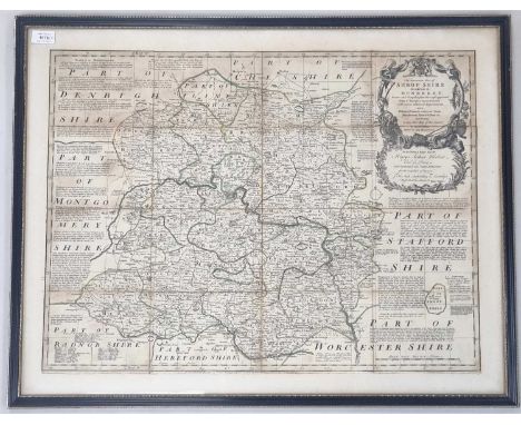
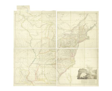
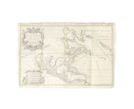
![CAMDEN (WILLIAM)The Abridgment of Camden's Britan[n]ia with the Maps of the Severall Shires of England and Wales, engraved a](https://cdn.globalauctionplatform.com/ccdb6d54-77ac-49b7-bb5d-af3c00ca756d/8455f76e-163e-4fcd-8b69-af3c00cdd44b/468x382.jpg)
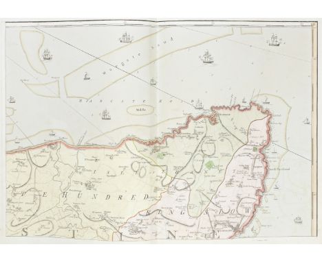
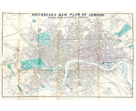
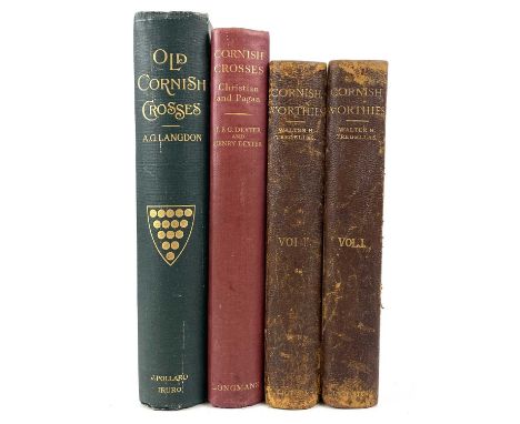
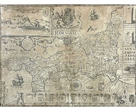
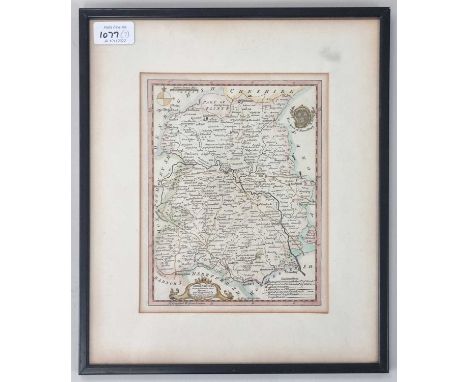
![HARRIS (JOHNA)The History of Kent. In Five Parts, vol. 1 [all published], FIRST EDITION, SUBSCRIBER'S COPY, engraved portrai](https://cdn.globalauctionplatform.com/ccdb6d54-77ac-49b7-bb5d-af3c00ca756d/027d7bed-37a2-4f44-9e75-af3c00ce8437/468x382.jpg)