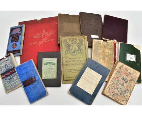

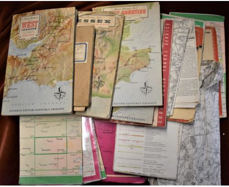
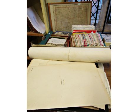
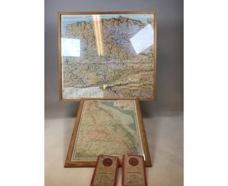
A SMALL QUANTITY OF CLOTH BACKED MAPS, comprising Map of the County of Stafford, published by E. Greenwood 1820, approximate size 157cm x 117cm over 64 sections, Thomas Kitchen Carmarthenshire and Glamorganshire, backed to the same piece of cloth, Black's Large Tourist Map of Scotland - District 9, published by Forster Groom & Co, Ordnance Survey map of Suffolk, sheet LXIX NW published circa 1837, one inch Ordnance Survey map of England, sheet 153 depicting Staffordshire housed in Burton & Derby sleeve, Ordnance Survey Geological Survey of Great Britain sheet LXXX published 1858, Map of the County Round Stanwick - depicting Durhan and Yorkshire, Ordnance Survey map Northern or Tamworth Divisions 1903, BBC World Radio Map of European Broadcasting Stations 1928,'The Hub' Cycling Map of England and Wales, A New map of the County of Derby' 1832, France as Divided into Departments, Bartholomew's tourist maps for British Isles, Derby and Notts and Vale of Trent (15)
We found 1759 price guide item(s) matching your search
There are 1759 lots that match your search criteria. Subscribe now to get instant access to the full price guide service.
Click here to subscribe- List
- Grid
-
1759 item(s)/page
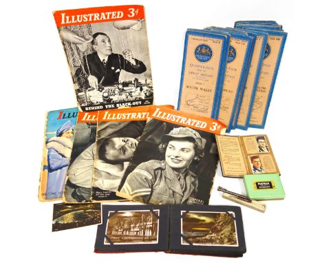
Collection of 19 Ordnance Survey Quarter Inch Maps of Great Britain, fourth edition; Pickford's Map of England; 5 "Illustrated" magazines; collection of postcards; collection of Ardath football players 1935 cigarette cards and Imperial American Civil War Generals cigarette cards, Concorde memorabilia and "Econosign" travelling artists' box and contents. (a lot)

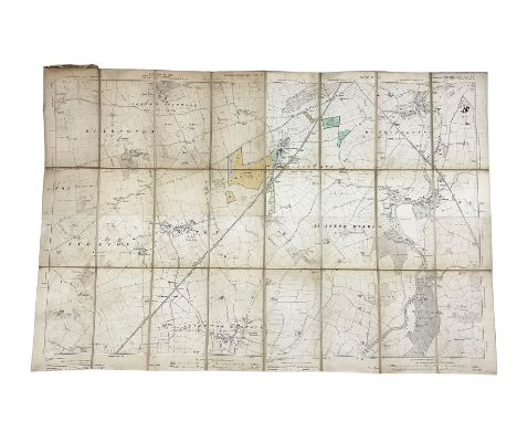
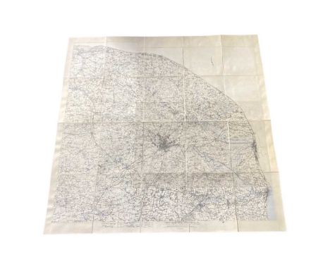
NO RESERVE Norfolk.- Milne (Thomas) A Topographical Map of the County of Norfolk, Reduced... from the Large Map in Six Sheets, engraved county map with outline hand-colouring, 605 X 895 mm (23 3/4 x 35 1/4 in), dissected and mounted on linen, some spotting and surface dirt, minor offsetting, folding into marbled slipcase with owners printed label to upper cover 'Frederic Lane, Lynn', spines splitting and very worn, 8vo, William Faden, 1803; together with 2 parts only (of 3; lacking western section with calligraphic title) of Greenwood's large scale map of Somerset, with fine vibrant hand-colouring, in book-style slipcase, and a two-sheet Ordnance Survey map of Lincoln and Hull, published by J. Wyld, folding into slipcase, 8vo, 19th century (3)
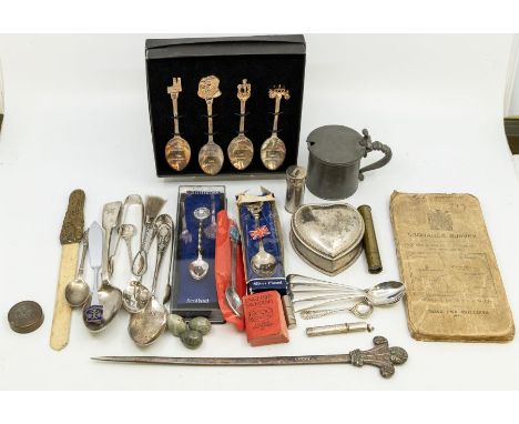
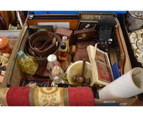
A collection of assorted items to include: 4 silver spoons by Cooper Bros & Sons 1929, 1934 and 1935 (53.8g); A Birmingham hallmarked silver mustard/condiment spoon, 1897 by Joseph Goster (5.4g); A 925 silver toothpick/pin holder (8.2g); along with 2 pairs of silver plated sugar tongs; A silver plate heart-shaped jewellery box; a silver plate teaspoon; a silver plate meat skewer; also another silver plate spoon; a silver plate apostle spoon; 3 silver plate place named / commemorative spoons and knife; a Caithness glass and silver plate spoon; a silver plated brush; a brass oriental, bone page marker; a pewter mustard pot by James Dixon and Sons, a boxed set of 4 silver plate Royal wedding spoons, an Ordnance Survey map, a small brass telescope, a plated cylinder box for formamints, English and Swedish 1200 words miniature book, a cylinder brass lid/weight, pencil leads in case, and 3 stone miniature eggs.
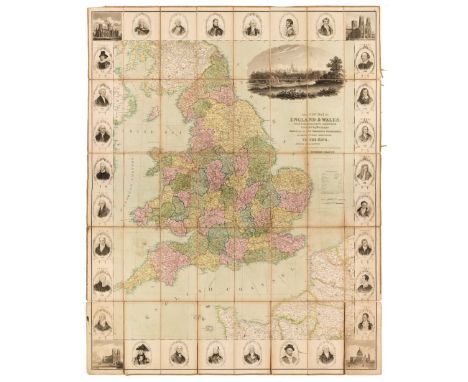
England & Wales. Seaton (Robert), New Map of England & Wales, with the adjacent countries, compiled by Surveyors employed in the Ordnance Department is Respectfully Dedicated to the King by His Majesty’s Most Obedient Servant & Geographer..., circa 1835, engraved map with contemporary hand-colouring, sectionalised and laid on linen, uncoloured vignette of Windsor Castle, the margins decorated with 4 ecclesiastical engravings and 28 portraits of eminent individuals, edged in brown silk, slight browning and staining, cloth endpapers with some fraying, 1170 x 940 mm, together with Rocque (John). The Traveller's Companion or the Post Roads of England and Wales..., Robert Sayer, 1771, engraved map with contemporary outline colouring, sectionalised and laid on linen, some staining and soiling, 525 x 515 mm, contained in a contemporary marbled card slipcase with printed label to the upper cover, case worn and frayed, plus Cary (John). Cary's Reduction of his Six Sheet Map of the British Isles; comprehending the whole of the turnpike roads..., 1828, engraved map with contemporary outline colouring, sectionalised and laid on linen, inset map of the Shetland Isles, dust-soiled and stained, 1235 x 965 mm, contained in a contemporary cloth slipcase with printed label to the upper cover, worn and frayed with slight loss, with another six folding maps with examples by or after Bacon, Ordnance Survey, J & C Walker, Swiss and Co. and W. J. Adams & Sons, various sizes and conditionQTY: (9)
Folding Maps. A collection of eight maps, 19th century, including Ordnance Survey. Map of Kent, on a scale of 25 inches to the mile, circa 1890, 10 lithographic maps with contemporary outline colouring, sectionalised and laid on linen on ten sheets, each sheet approximately 685 x 1025 mm, each with green cloth endpapers, contained in two half morocco bookboxes, rubbed and worn at extremities, together with Kirkwood (Robert). Map of Scotland constructed and engraved from the best authorities by Robert Kirkwood..., William Blackwood, Edinburgh, Smith & Son, Brash & Reid, J. & A. Duncan and F. Orr, Glasgow, and W. Faden, London, 1816, engraved map with contemporary outline colouring, sectionalised and laid on linen, inset maps of The Orkney and the Shetland Islands, inset panels describing the navigable rivers, population density, canals and mountains, the route of Prince Charles as he fled after the battle of Culloden is highlighted in green, very slight staining, three publisher's labels to the verso of the map, one describing the route of Prince Charles after his defeat at the battle of Culloden, one showing a triangular table of distances between towns and cities and an explanatory key plan, 705 x 575 mm, contained in a contemporary marbled card slipcase with a decorative engraved title label to the upper cover with a later 19th-century ownership signature, worn at the extremities, with Cary (John). An untitled Map of Central England, 1832, large scale engraved map with contemporary outline colouring, sectionalised and laid on linen, covering parts of Warwickshire, Northamptonshire, Huntingdon, Hertfordshire, Oxfordshire and Gloucestershire, a few sheets partially detached from the linen, marbled endpapers, 1000 x 1880 mm, contained in a contemporary marbled card slipcase with a printed key map to the upper cover, slipcase worn and frayed at the extremities, plus Walker (J. & C.). Map of the Peninsula of India, comprising the whole of the Madras Presidency and portions of the adjacent territories of Bengal and Bombay, derived from the latest surveys and other information collected by Lt. Colonel F. H. Scott, Quarter Master General of the Madras Army, ..., 2nd Edition, Madras, 1863, engraved map with contemporary outline colouring, sectionalised and laid on linen on two sheets, northern sheets with some marginal ink staining, later ink stamped ownership signature to verso, each sheet approximately 660 x 1000 mm, marbled endpapers, and George Philip & Son. Philips' Main Road Map of Great Britain, circa 1920, colour printed folding map, laid on linen, inset map of Northern Scotland, very slight staining, 870 x 550 mm, publisher's decorative printed paper wrappers, with Laurie (Robert & Whittle, James). Laurie & Whittle's New Traveller's Companion exhibiting a complete and correct survey of all the direct and principal cross roads in England Wales and Scotland; as far north as Edinburgh and Glasgow...., 1806 [or later], double-page title, advertisement, index and table of explanation all present, lacking the general map of England & Wales, 24 (of 25) engraved road maps, all with original hand colouring, slight offsetting, heavily stained and dust-soiled throughout, trimmed at lower margin with some loss to the publishing details, marbled endpapers, contemporary 'envelope style' limp morocco, slight wear to extremities, oblong 8voQTY: (8)
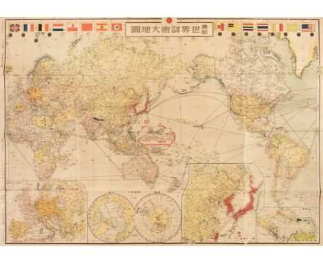
Folding Maps. A mixed collection of 30 maps, 19th & 20th century, including River Thames. Farrer's Panoramic Atlas of the Thames and Medway, extending from Cirencester to Southend with 46 page guide from Oxford to Southend, Farrer & Sons, circa 1880, frontispiece of a black and white photolithographic view of Windsor Castle, 46 pages of descriptive text and an eight sheet colour printed map of the River Thames, Tombleson's Panoramic Map of the Thames and Medway, published by G. W. Bacon & Co. Ltd., each map sheet 170 x 220 mm, if conjoined 1320 x 220 mm, gutta-percha perished, contents shaken and loose, publisher's red cloth boards, binding size 175 x 120 mm, together with John Bartholomew & Co. (publisher). The Autocar Map for Motorists, published from the Autocar offices by Iliffe & Sons Ltd. circa 1925, colour printed map, sectionalised and laid on linen, 1355 x 1115 mm, publisher's colour printed endpapers, contained in a contemporary cloth slipcase with colour printed labels to both covers, with Ordnance Survey. Geological Survey of England and Wales, Sheet 12 (London and its Environs), 1895, colour lithographic map, sectionalised and laid in linen, 650 x 840 mm, marbled endpapers, contained in a contemporary red cloth slipcase with a printed label to the upper cover, plus Hayashi (Hideharu). Newest Detailed Map of the World, 1941, colour printed photolithographic map, the upper margin decorated with 16 national flags and showing the main aircraft routed and shipping lanes, the map shows a direct flight path from Japan to Hawaii which is significant as the map was published some three weeks before the Japanese attack on Pearl Harbour, old folds, small splits along some old folds, faint staining and spotting, 750 x 1055 mm, and G. W. Bacon & Co. Ltd. Bacon's New Map of London, circa 1900, folding colour photolithographic map, laid on linen, 800 x 980 mm, bound in contemporary cloth gilt boards, with another 25 folding maps and guide books, similar, including examples by or after Stanford, Philips, Ordnance Survey and W. & A. K. Johnston, various sizes and conditionQTY: (30)
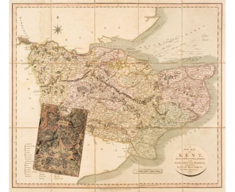
Folding Maps. Cary (John), A New Map of Kent divided into lathes, and subdivided into hundreds, exhibiting its roads, rivers, parks &c., 1806, engraved map with contemporary outline colouring, sectionalised and laid on linen, slight staining, 490 x 550 mm, contained in a contemporary marbled card slipcase with publisher's labels to the verso and recto, slipcase a little stained and worn, together with Smith (C.). A New Map of the County of Surrey, divided into hundreds, 1827, engraved map with contemporary outline colouring, sectionalised and laid on linen, very slight staining, 460 x 505 mm, contained in a contemporary linen slipcase with printed label to the upper cover, with Bowen (Emanuel). An Accurate Map of the County of Surrey divided into its hundreds..., Carington Bowles, Robert Wilkinson and Robert Sayer, circa 1765, engraved map with contemporary outline colouring, sectionalised and laid on linen, some staining, some splits along old folds, 535 x 715 mm, contained in a contemporary marbled card slipcase with publisher's labels to the verso and recto, slipcase worn and frayed, plus Agas (Ralph). Civitas Londinium. A Survey of the Cities of London and Westminster, the Borough of Southwark and parts adjacent..., by William Henry Overall, Librarian to the Corporation of London, The Facsimile by Edward J. Francis, Adams and Francis, Edward Stanford, 1884, thirty-page pamphlet of descriptive text, folding uncoloured lithographic panorama, sectionalised and laid on later linen, heavily toned overall, 740 x 1880 mm, marbled endpapers, contained in a contemporary cloth slipcase, with another three folding maps by or after Ordnance Survey and Adam and Charles Black, various sizes, good conditionQTY: (7)
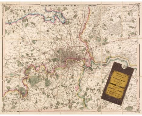
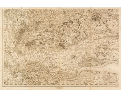
London. Cruchley (G. F.), Ordnance Map of the Country 14 Miles round London, 1853, engraved map with bright contemporary outline colouring, sectionalised and laid on linen, 575 x 730 mm, 'tartan' endpapers, contained in a contemporary cloth slipcase with publisher's yellow printed label to the upper cover, together with James Reynolds & Sons (publisher). The Oarsman's and Angler's Map of the River Thames from its source to London Bridge, circa 1880, folding lithographic map with contemporary outline colouring on two conjoined sheets, slight staining, laid on linen and bound 'concertina' style,2555 x 150 mm, publisher's cloth boards with gilt title to the upper siding, spine faded, plus Reynold's New Map of London and its Suburbs, circa 1880, colour printed lithographic map, sectionalised and laid on linen, 655 x 1050 mm, marbled endpaper, bound in publisher's blue gilt boards, upper board detached, spine lacking, with another ten maps of London, late 19th and early 20th century, including examples by or after Philips, Ordnance Survey, Bacon, Bartholomew and 'Geographia', various sizes and condition, plus Stockdale (James). Map of the Seat of War in the Northern Part of Europe, 1812, large engraved map with contemporary outline colouring, sectionalised and laid on linen, inset table of the 'Geographical Divisions' of Europe since 1779, slight staining, 1415 x 1545 mm, and Sanson (Guillaume). La Basse Partie de L'Archevesché et Eslectorat de Cologne, Pierre Mortier, Amsterdam, circa 1700, engraved map with contemporary outline colouring, sectionalised and laid on linen, light overall toning, 980 x 610 mmQTY: (15)
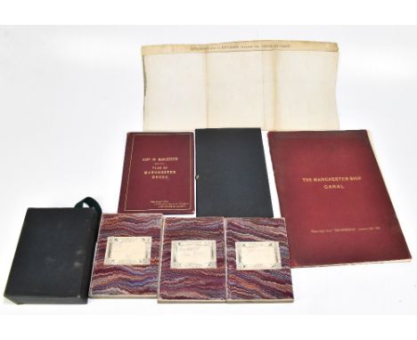
MANCHESTER INTEREST; PORT OF MANCHESTER, THE MANCHESTER DOCKS, a hand coloured linen backed plan of the docks printed by Faulkner & Sons, with integral leather cover for ‘The Right Hon Sir Thomas Vansittart Bowater, Lord Mayor of London, plan 89cm x 43cm; with, MANCHESTER SHIP CANAL - GENERAL PLAN OF CANAL AND DISTRICT REVISED 1890; THE MANCHESTER SHIP CANAL, 1894, a folding map of Liverpool, and a boxed set of three Ordnance Survey maps of Lancashire dated 1904 (5) PROVENANCE: The Collection of Jack Tempest. Additional InformationThe 1894 book is a fragment - not complete.
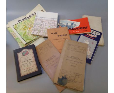
Box of assorted maps including: 'Scotland the Forth & Tay, Royal Airforce Edition, sheet 3', Stanford's Map of England and Wales, Ordnance Survey of Great Britain, 'Pianta Panoramica di Roma', 'D'Alger', Halfords accessories for road users, Mobil road map, LMS map of Europe published by the London Midland & Scottish Railway etc. (B.P. 21% + VAT)
Three maps to include: 'Map Showing the Distribution of Cholera in London and its Environs, From June 27th to July 21st, 1866' Published by Day & Son Limited, Lithograph in colours, 90 x 63 cm; 'Isle of Man, Ordnance Survey of England and Wales, first published by The Director General at the Ordnance Survey Office, Southhampton, 1921. with periodical corrected reprints' 86 x 68 cm; 'A Map of The Isle of Man shewing The Railway System, By William Abbott F.R.G.S.', 57 x 44 cm (3)
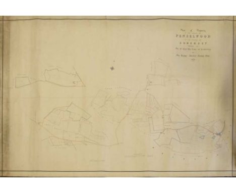
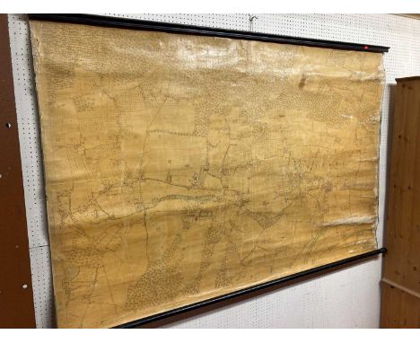
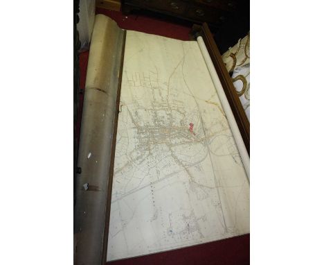
Maps - Penselwood, Somerset - 'Plan of Property in the Parish of Penselwood in the County of Somerset, Belonging to the Rt Hon the Earl of Ilchester and Sir Henry Ainslee Hoare Bart. 1876' - large hand-coloured estate map laid onto linen, 127cm x 178cm wide; together with a small quanity of Ordnance Survey and other rolled and folded maps (qty)
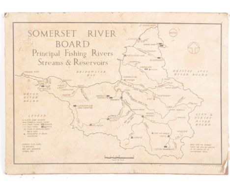
Somerset River Board Survey - A vintage mid 20th Century Ordnance Survey map for the Somerset River Board Principal Fishing Rivers, Streams & Reservoirs. Mounted upon a hardboard back. Measures approx; 34cm x 46cm. COLLECTION; Anyone wishing to collect this item in-person, please note this lot is located offsite and collection will be required from a 'BA' (Bath) postcode, by appointment only. Exact location given after payment received. For anyone else, our usual courier service is available as usual, please find details on the shipping tab .
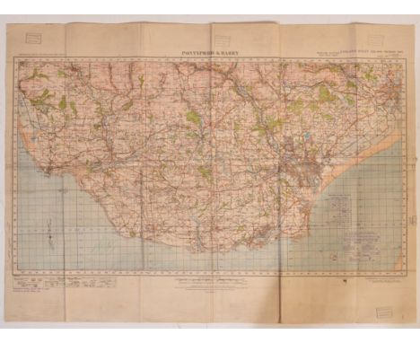
A WWII Second World War Wales Home Guard OS Map dated 1940. Pontypridd & Barry. Originally published by the Ordnance Survey Southampton 1922, then published at the War Office 1932, coded Geographical Section General Staff 3907. Scale one inch to the mile. On folding linen size 91 by 66 cm. With five stamps around the margins indicating that this was used by the 3rd battalion of the Home Guard, Bridgend. Colour. Includes Cardiff and some of Newport. Measures approx 90x65cm
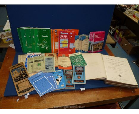
A quantity of ordnance survey maps including Batholomews, 'Wales and the Marches quarter inch cloth map etc and an illustrated leather bound book 'The complete Atlas consisting of one hundred and twenty maps of modern, historical, classical and physical geography', published by Williams Collins, sons & company.
South East England. Ordnance Survey (publishers), Nine map sheets, numbered 1 - 9, 1st edition of the 'Old series', 1805 - 22, nine uncoloured engraved Ordnance Survey maps, sectionalised and laid on linen, covering Sussex, Kent, Surrey and Middlesex, on a scale of 1inch to the mile, each sheet approximately 640 x 930 mmQTY: (9)NOTE:When the Ordnance Survey decided to publish its maps itself, rather than having them published by a separate commercial business, it started to print its newly mapped sheets as they were surveyed and engraved. This was the original 1-inch 'Old Series' which would eventually cover the whole country. The so-called 'Mudge' map of Kent was published as a county map by William Faden in 1801. After that, the county format was abandoned in favour of a complete map of the area surveyed, irrespective of county boundaries. From then on the sheets were published as soon as they were ready, starting with four sheets covering Essex (all dated 1805). From then on, as the maps carried the date of publication e.g. 'Published April 18th 1805 by Lt.Col.Mudge, Tower. This collection is of the consecutive nine sheets of the South-East of the country which represent 9 of the first 11 sheets of the Old Series published. Thus, the publication dates vary, sheet 1 1805, sheet 2 1805, sheet 3 1819, sheet 4 1816, sheet 5 1813, sheet 6 1819, sheet 7 1822, sheet 8 1816 and sheet 9 1813.
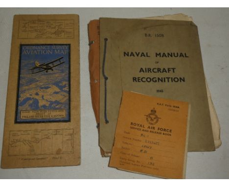
A Bradshaw's Railway Map of England, Wales and Southern Scotland, published by Henry Blacklock and Company Limited, London, Geographia Map of Norfolk, two Ordnance Survey War Revision Maps 1940 of Potmadoc and Criccieth, an Officers Training Corps 1932 Map of North West Hampshire, and a War Office Manual of Map Reading, Photo Reading and Field Sketching 1929.
Symons Alderman John: Kingstoniana. 1889 Hull. Folding map; other books and booklets of Hull interest; Victorian and later paper ephemera including newspapers, theatre programmes, letter headings and invoices, PDSA poster, sports programmes, social events, first day covers, Ordnance Survey maps, DVDs etcCondition Report:Condition varies dependent upon age but most in reasonable condition.Some rusting of staples to programmes etc
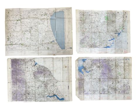
Three WW2 edition RAF quarter inch to one mile linen backed Ordnance Survey maps of England titled Midlands (N), Eastern Counties (S) and one with text removed showing NE England largest 62 x 81cm; and German O.S. map of East Yorkshire dated 1941 with manuscript Junkers 88 A-5 crew members details verso.Condition Report:Condition is consistent with being well used and folded with some damage to creases.One RAF map of N. E. England has had top and bottom text details removed.
Major COLBY: Ordnance survey map of Lincolnshire, in 8 parts: 1- Sleaford, Spalding & Newark on Trent; 2- Lincoln, Market Rasen & Horncastle; 3- Hull & Barton on Humber; 4- Spurn Head; 5- Peterborough, Oundle, Melton Mowbray; 6- Downham market; 7- Holbeach, Castle Rising & Boston; 8- Loath. Published at the Tour of London, 1st. March 1827, by Major Colby. All eight maps are folding, hand coloured and linen backed, each measuring 950 x 650mm. Housed in the original full leather box, lid torn with loss; maps VGProvenance: The Peter and Pat Croft Collection
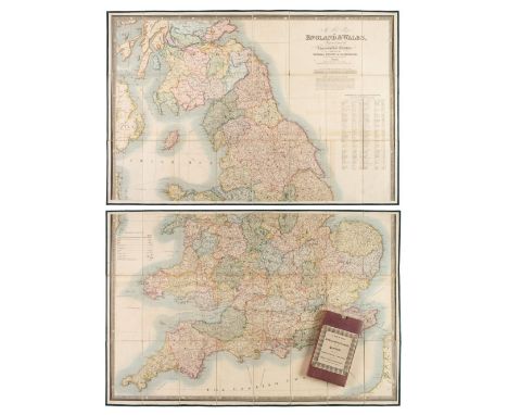
Folding Maps. A collection of nine folding maps, mostly 19th century, engraved and lithographic regional and touring maps, including Wyld (James). A New Map of England & Wales Projected upon the Trigonometrical Operations made for the General Survey of the Kingdom, James Wyld (Successor to Mr Faden), 1st. January 1830, large engraved map with bright contemporary hand colouring, sectionalised and laid on linen on two sheets, calligraphic title, table of the altitudes of the principal mountains and table of explanation, slight offsetting, edged in green silk, each sheet approximately 625 x 950 mm, paper endpapers, contained in a contemporary cloth slipcase with a publisher's printed label to the upper cover, together with Wallis (John). Wallis's New and Correct Map of the Post Roads of England & Wales, 1790, engraved map with contemporary outline colouring, sectionalised and laid on hessian, some staining, small holes where old folds cross, old manuscript ownership signature to the upper margin, 555 x 470 mm, contained in a contemporary marbled card slipcase with publisher's printed label to the upper cover with an additional manuscript ownership signature, heavily worn and frayed, with Cassell, Petter, Galpin & Co. (publishers). Map of Greater London, printed by Edward Stanford, circa 1890, folding lithographic map laid on linen, slight spotting and staining, 740 x 630 mm, contemporary cloth boards with the gilt letters 'J. H. L.' to the upper siding, plus Johnston (W. & A. K. publishers). Northern Part of Ross and Cromarty Shires, Compiled from Actual Surveys by John Craig, Glasgow, circa 1850, engraved map with contemporary outline colouring, sectionalised and laid on linen, inset map of Lewis, 1020 x 700 mm, contained in a contemporary blind-stamped cloth slipcase, and Brion de la Tour (Louis). Cartes des Postes D' Allemagne et des États Voisins..., Paris, 1791, engraved map with contemporary outline colouring, sectionalised and laid on linen, edged with pink linen, 730 x 1060 mm, two string ties in the upper corners, with another four folding maps, including examples by or after Ordnance Survey, Foley. Headley and Dufourcet, various sizes and condition, with Lewis (Samuel). A Topographical Dictionary of England..., 1831, folding engraved map of England and Wales and forty (only) uncoloured engraved county maps (including 10 folding), bookplate of Earl Granville, contemporary half gilt with gilt decorated spine, upper board detached, worn at extremities, 4to, plus Taylor (A. E.). Twenty-five City Plans, circa 1930, uncoloured photolithographic plans with English text below and on the verso of each map, map size approximately 120 x 180 mm, and Blomfield (Ezekiel). Lectures on the Philosophy of History..., 1819, printed title, advertisement and contents list, twelve (complete as list) engraved hemispherical maps with contemporary hand-colouring, partially uncut, slight spotting throughout, contemporary boards, 4to, together with Kent. Porcelain plate, possibly Coalport, circa 1880, colour transfer design featuring a map of the county of Kent, on a white background with a gilt and floriate rim, 225 mm diameter, and Treen. Spooled Length of Ribbon, circa 1880, yellow ribbon contained between two wooden circular discs, one disc painted, the other with an uncoloured circular lithographic map centred on Tunbridge Wells, diameter 55 mm, with a vellum indenture dated 1690, with one red wax seal and a small attached simple manuscript map, overall size 650 x 750 mmQTY: (39)
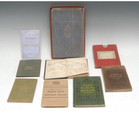
Cartography - five mid-late 19th century cloth bound pocket maps, including Rankin's Eight Miles Round Malvern, Malvern: H.W. Lamb, [n.d., c. 1850], 43cm x 42.5cm, the binding enclosing the Lamb's ticket too, (1); the others including, Ordnance Survey of England Wales, marbled wrappers and slipcase en suite, (1); Cruchley's Reduced Ordnance Map, (1); Rhineland Transport, Carte du Canal de l'Est, (1); Gall & Inglis' New Travelling Map of England, with The Railways, (1); a later Ordnance Survey "Quarter-Inch" Road Map of Northern Ireland, (1); books, including [Coles (Charles Barwell)], Short Whist [...], London, 1855, original cloth, 8vo, (1); Dutton's Photographs of Bath Abbey, [c. 1894], original lavender wrappers, (1); Nonesuch Dickensiana, 1937, original blue cloth, box en suite, 8vo, (1), [9]
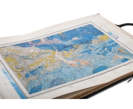
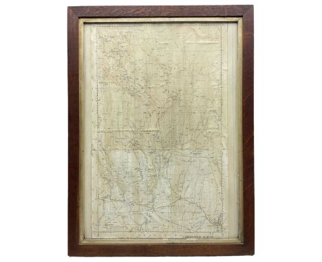
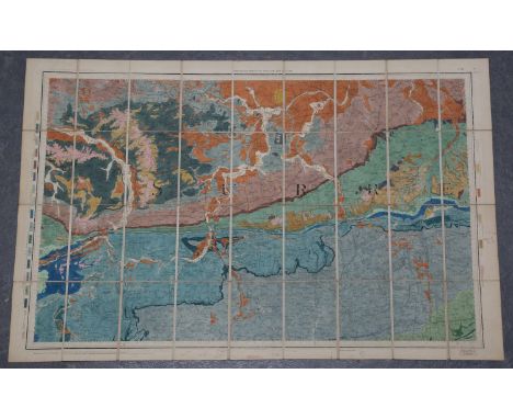
THE GEOLOGICAL SURVEY OF ENGLAND AND WALES,a folio of finely hand coloured geological maps (no. 2 missing), engraved at the Ordnance Survey office, Southampton, variously dated mid-to-late-19th century, all bearing W.H. Milnes printer and stationer, Wakefield stamp, linen backed, each leaf 42cm x 58cmThe sheets are bound into a large folio, the exterior is quite heavily worn and scuffed; the stated scale is ‘Scale of one inch to a Statute Mile’.Page/Map 1 is annotated as ‘Sheet 98 N. E. (New Series Sheet 39)’ but obviously numbered ‘1’ in the top right corner, a Page/Map 2 is missing and resumes at Page/Map 3, annotated as ‘Sheet 98 S. E. (New Series Sheet 49)’, the latest date listed on this map is 1892 relating to certain revisions.The Pages/Maps then proceed numerically according to the numbers printed in bold in the upper right corners #3-30Preceding Page/Map 1 is a partial map of Thirsk and Malton (this torn and discoloured) so a total of 30 maps, 29 (missing Page/Map 2 as stated) are hand coloured geological maps in a numerical series according to the numbers in the upper right.Some example latest listed dates are Page/Map 5 1879, 10 1858, 18 1887, 20 no listed dates, 25 1885, 30 1875.There are marks to the borders of the maps and the leaves as well as some staining, mostly to the backs or ledges of the sheets but occasionally affecting the maps as well as general browning to varying degrees.Additional images illustrating general condition available
Ordnance Survey (publisher) - Surrey, engraving in 36 sections with hand-colouring, folding and backed onto linen, circa 1887, overall 68cm x 104cm, together with a similar map of the East Sussex coast.This lot is subject to a Buyer’s Premium of 24.5% (including VAT @ 0%) of the hammer price. Purchased online via the-saleroom.com, this lot will attract an additional premium of 5% (including VAT @ 0%) of the hammer price.
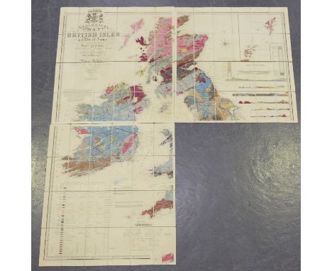
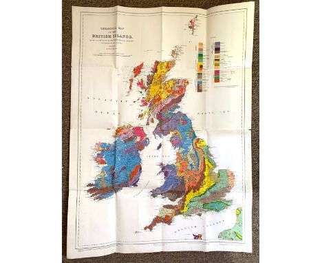
William Faden - 'A Topographical Map of the County of Sussex... Planned from an Actual Survey by a Scale of One Inch to a Statute Mile, Begun by W. Gardner and the late T. Yeakell, Completed by Thos. Gream', engraving in 64 sections over four sheets with hand-colouring (incomplete lacking the four inland sheets), folding and backed onto linen, overall 76.5cm x 392cm, within a cardboard case with original paper label, together with Knipe's 'Geological Map of the British Isles', (lacking one sheet), together with an Ordnance Survey folding map of Lewes and two other folding maps.This lot is subject to a Buyer’s Premium of 24.5% (including VAT @ 0%) of the hammer price. Purchased online via the-saleroom.com, this lot will attract an additional premium of 5% (including VAT @ 0%) of the hammer price.
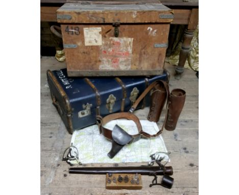
Militaria - Major McCollum ' 88378 ' of Ireland, Medical Core, WWI effects including a wooden bound leather steamer trunk with period red Cross painted front panel; another steamer trunk of period painted with McCollum; a military pistol brace / belt strap; leather shin guards; buttons; conical formed leather ordnance survey map case, etc
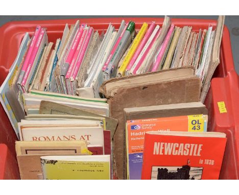
A collection of Ordnance Survey Maps and other Tourist Maps/Guides, including: Ordnance Survey Tourist Map of the Trossachs in Loch Lomond; Hexham and The Wall Country, by Fred Tait; A Guide To The Roman Wall, by R.G. Collingwood; A Corbridge Roman Station Northumberland Official Guide; Hadrian's Wall, by F.G. Simpson; and others, in one box.
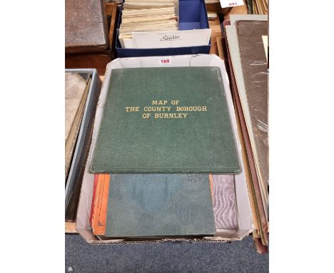
FOLDING MAPS: PICKLES (G H, surveyor): 'County Borough of Burnley..also showing the parliamentary boundary, 1896..revised to 1909': published Nuttall & Co, Burnley: large folding engraved map with colouring, approx 103 x 78cm, original green cloth boards gilt lettered to upper: with 8 other folding 19th century maps, including some Ordnance Survey. (9)
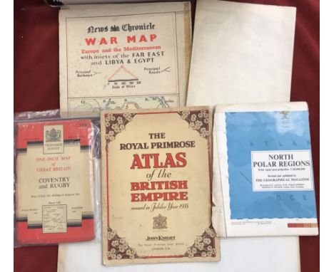
Maps (3) old maps including "The reaches of New York City" 1939 by National Geographic Magazine; "The Royal Aimee Atlas of the British Empire" 1935 by John Knight, Royal primrose Soup Works; "War map of Far east, Libya & Egypt" News Chronicle (taped) (4) Geographical Magazines, Ordnance Survey Coventry & Rugby 1954 and Scotland War Office Edition Map - Ordnance Survey - sheet 5 - (Orkney Islands (North) Published 1948 - folded, good condition
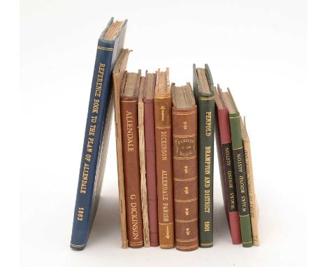
Page (I.E.) Walks Round Alston, 16mo, original paper covs. enclosed by cloth binding, Carlisle, 1893, and another edition, published 1912; Penfold (Henry) Brampton and District: A Guide, 1901; Dickinson (George) Allendale Parish, 8vo, rebound in half-calf, first edition, 1886; James (Col. Sir Henry) Ordnance Survey Book of Reference to the Plan of the Parish of Allendale, lge. 8vo, illus. with map, 1862; and other Guides to places in Northumberland. (11)
-
1759 item(s)/page