FOUR BOXES OF BOOKS, LP'S & CD'S containing approximately 125 miscellaneous book titles in hardback and paperback formats, subjects include classic or contemporary novels, history, geography, art and other factual titles, a small selection of Ordnance Survey and other maps, a collection of easy listening, pop music LP records and two cases of approximately seventy-five CD's, mostly of the C&W genre (4 BOXES)
We found 6508 price guide item(s) matching your search
There are 6508 lots that match your search criteria. Subscribe now to get instant access to the full price guide service.
Click here to subscribe- List
- Grid
-
6508 item(s)/page
NO RESERVE Geology.- Yorkshire.- Geological Survey of England and Wales. Sheet 24 Yorkshire, Southampton, Ordnance Map Office, very large hand-coloured map, c.1950 x 1290 mm, 4 sheets dissected and mounted on linen, folded into original morocco wrappers, gilt title to spine, a little rubbed, small splits to spine but holding firm, a little rubbed, 8vo, [1854].
Atlases comprising Bartholomew & Co. Black. Road & Railway Travelling Map of Scotland, [n.d., 1870s?] Folding map, linen-backed, hand-coloured, in original cloth-covered boards, some dust-soiling;Bartholemew, J.G. The Royal Atlas of England and Wales, reduced from the Ordnance Survey. London: George Newnes, [1897]. Folio, modern half morocco, foxed;Idem. The Imperial Map of England & Wales, according to the Ordnance Survey... London: Edinburgh: A. Fullarton & Co., [n.d.] Folio, modern half morocco;Stieler. Hand-Atlas. Justus Perthes, 1910. Folio, original quarter calf, joints split;Blaeu, J. The Blaeu Atlas of Scotland. Edinburgh: Birlinn / National Library of Scotland, 2006. Folio, facsimile of the 1654 edition, original quarter cloth, slipcase;Barrott, H.N. An Atlas of Old Edinburgh. Facsimile, 2000, folio in half calf
A collection of War Office Ordnance Survey of England & Wales maps - Second War Revision 1944 - together with Guernsey maps some maps linen backed, some stamped 'O. i/c INSPECTIONS (ART'Y. & F.C.I.) 4 A.A. GROUP, THE CAMP. ARROWE PARK RD. UPTON, WIRRAL', comprising Kirkby Stephen & Appleby sheet 13; Anglesey sheet 41; Llandudno & Denbigh sheet 42; Chester sheet 43; Portmadoc & Criccieth sheet 49; Dolgelley & Lake Vyrnwy sheet 59; Burton & Walsall sheet 62; Llanidloes sheet 69; Rugby sheet 73; Ely sheet 75; Cambridge sheet 85; llanelly sheet 100; Newport sheet 102, together with two Guernsey maps. (qty)
Text Book of Topographical and Geographical Surveying. By Col C. F. Close, Director General of the Ordnance Survey, revised by Cap. E. W. Cox. 2nd edition. 10th thousand. Printed under the authority of His Majesty's Stationery Office, London 1913. Publisher's dark red boards, titled in gilt. 412 pages, including index, plus 42 full page plates, plus many folding pull outs. 7½" x 10½". The definitive book of its time that has now been overtaken by technical progress in its field. From single vendors book collection. We combine postage on multiple winning lots and can ship worldwide. UK postage from £5.99, EU from £7.99, Rest of World from £9.99. 30kg box UK £15, EU £40, ROW £60
Geology. Approx. 95 British geological survey maps, 20th c, principally Ordnance Survey, various regions, mixed sizes Ex-library stock and as such sold not subject to return. However, irrespective of library markings, etc., most appear in good condition. Please note not every sheet has been individually examined.
Geology. Approx. 120 British geological survey maps, 20th c, principally Ordnance Survey, various regions, mixed sizes Ex-library stock and as such sold not subject to return. However, irrespective of library markings, etc., most appear in good condition. Please note not every sheet has been individually examined.
Local Interest. Approx. 145 Nottingham and Nottinghamshire maps, some further in East Midlands, 20th c, principally Ordnance Survey, some copies of blue prints, etc., mixed media, various sizes Ex-library stock and as such sold not subject to return. However, irrespective of library markings, etc., most appear in good condition. Please note not every sheet has been individually examined.
Local Interest. Approx. 100 Nottingham and Nottinghamshire maps and some printed ephemera, 18th c and later, including Robert Morden and Emmanuel Bowen engraved county maps, each repaired and mounted, other antique maps, later 19th c and later Ordnance Survey Maps, including 55 with green silk borders, defective copies of The People newspaper, c. 1890, etc., various sizes Ex-library stock and as such sold not subject to return. However, irrespective of library markings, etc., most appear in good condition. Please note not every sheet has been individually examined.
Ordnance Survey Maps - Devon & Eastern Cornwall Including Rare First Edition Sections A range of 1" and 6" Ordnance Survey maps, some from the 1st Edition by Lt Col Mudge of the Tower of London dated 11/10/1809 on linen backs or on paper. Areas covered include Ilfracombe, Bideford, Bude, Plymouth, Callington, Torbay to Lyme Regis, Oakhampton to Bideford, etc. Also includes Cornish large scale maps of Long Rock/Marazion showing railways, Antony, Brynn Mine, Lizard, Wendron, etc. from 19th and 20th Centuries.
A selection of books relating to literature and history, titles including: The Complete Plays of Bernard Shaw; The Works of Shakespeare, 2 vols; The History of the Decline and Fall of the Roman Empire, by Edward Gibbon, 4 vols; and others; together with a collection of local Ordnance Survey Maps; one box.
Posters - Map of the Town of Swaffham and surrounding areas. Vintage measurements 61cm x 61cm, Hunstanton (Norfolk) Survey map 1905, measurements 104cm x 74cm, Ordnance Survey Map (Second Edition 1905) North Western Division Walsingham Union and R.D. Measurements 110cm x 73cm slight tear and damage around edge of poster and Norfolk - Map of the parish of Topcroft 1807. Reference of properties and rent paid yearly signifies land copy hold, measurements 94cm x 76cm.
A GROUP OF MISCELLANEOUS SUNDRIES, to include a boxed decorative circular metal cake stand (possibly for a wedding cake), two large circular cake tins, and four graduated flower shaped cake tins, a boxed cupcake stand, a three tier chrome and rope celebration/wedding cake stand, six woven wicker cake platters, twelve British Ordnance survey maps and a two tone grey B.T dial phone 8746F (unconverted), a brass coal box (6 loose)
Folding Maps. A collection of approximately 100 maps, mostly 19th century, engraved and lithographic folding maps of British counties, towns, cities and regions, together with guide books, touring maps and plans, including examples by or after Greenwood, Geographia, Ordnance Survey, Bacon, Bartholomew, Dower, Bowles & Carver, Philips, Cary and Baedeker, various sizes and conditionQTY: (approx. 100)
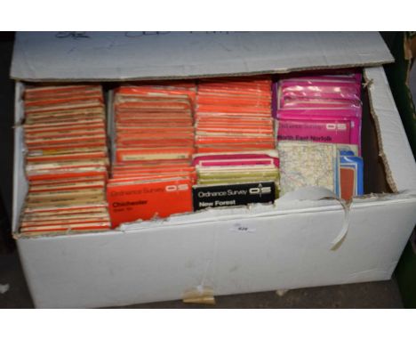
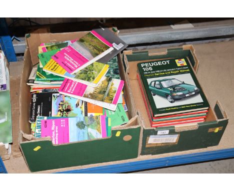
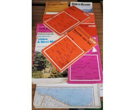
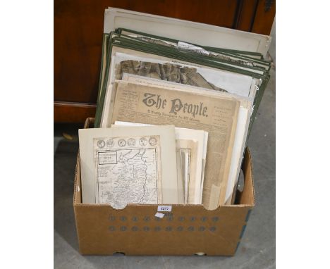
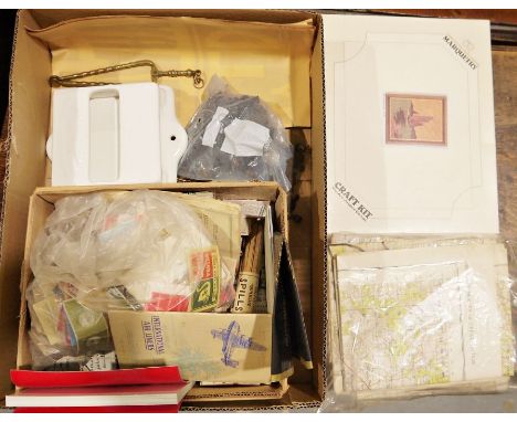
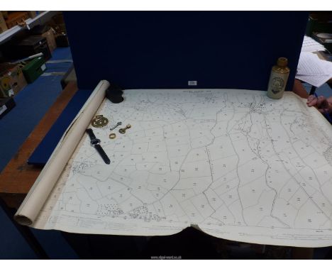
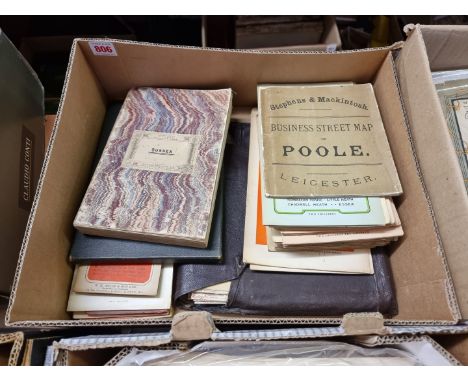
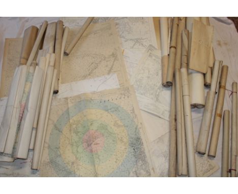
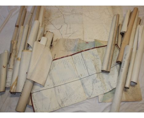
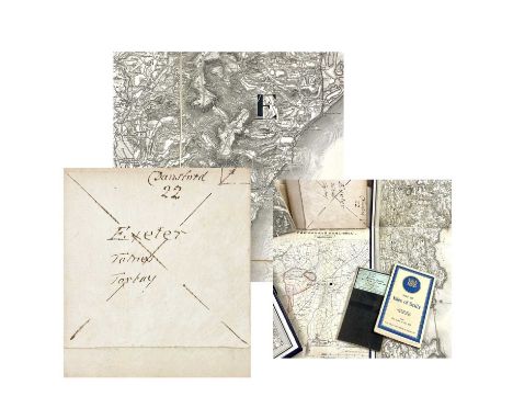
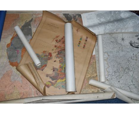
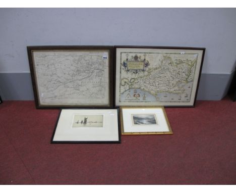
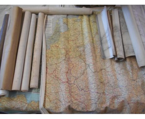
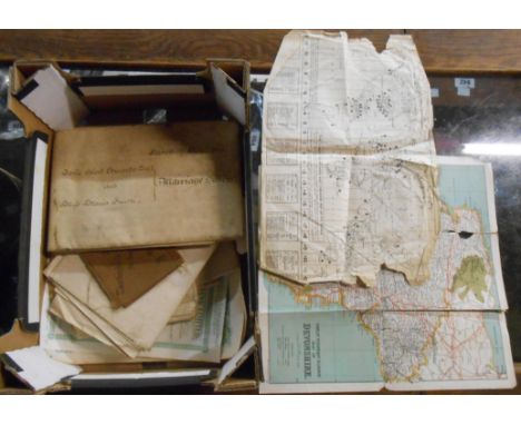
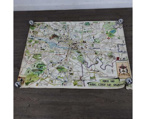
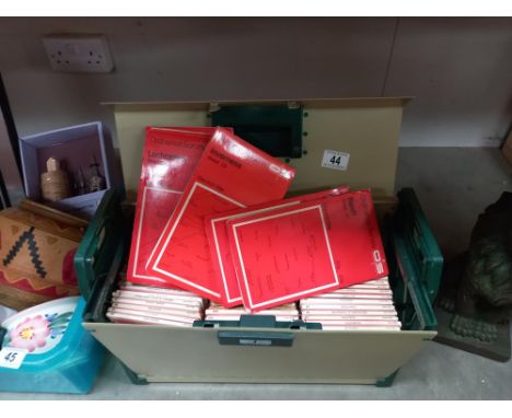
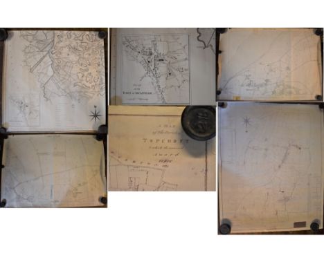
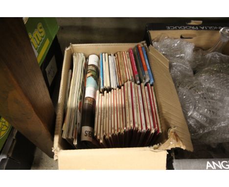
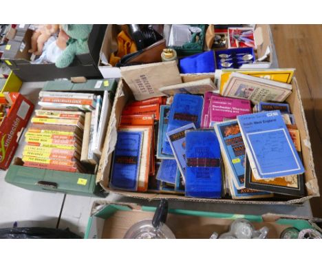
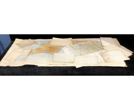
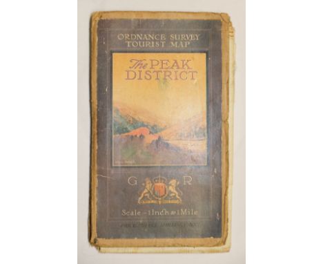
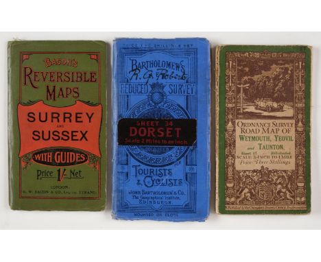
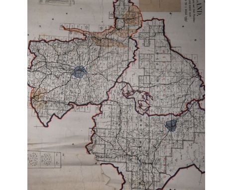
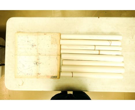
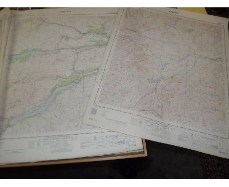
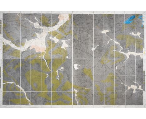
Bartholomew (John). The Imperial Map of England & Wales According to the Ordnance Survey..., A. Fullarton & Co. London & Edinburgh, circa 1870, index toned, 18 colour lithographic double-page map sheets, slight spotting throughout, lacking front endpaper, rear endpaper torn with some loss, contemporary cloth gilt, upper board detached, heavily worn and frayed, folio, together with Ordnance Survey (publishers). Ordnance Survey Atlas of England & Wales, and Ordnance Survey Atlas of Scotland, 2 volumes, 1922 - 24, double-page colour lithographic maps, on a scale of a Quarter Inch to the Mile, each map backed with linen, slight spotting throughout, publisher's cloth gilt, The Atlas of England & Wales, toned, frayed and with spine partially detached, oblong folio, with another copy of the Atlas of England and Wales, with Bowen (Emanuel). An Accurate Map of the Counties of Leicester and Rutland Divided into their Respective Hundreds..., circa 1765, engraved map with contemporary outline colouring, sectionalised and laid on linen, thread margins, contained in a contemporary marbled card slipcase with printed label to the upper cover, worn and frayed, plus another nine late 19th & early 20th-century folding county maps, touring maps and town plans, including examples by or after Stanford, Bartholomew, Bacon and Ordnance Survey, various sizes and conditionQTY: (14)NOTE:Sold as a collection of maps, not subject to return.
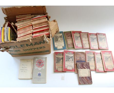
-
6508 item(s)/page