We found 3951 price guide item(s) matching your search
There are 3951 lots that match your search criteria. Subscribe now to get instant access to the full price guide service.
Click here to subscribe- List
- Grid
-
3951 item(s)/page

Lot 203
A SELECTION OF BOOKS AND MANUALS RELATING TO THE ROLL OF THE HOME GUARD DURING WW2, the books include the story of A Sector home guard on Warwickshire, a war time map showing the positions of the Home Guard Headquarters, pill boxes, road blocks etc in Stafford, Rugeley and Cannock,2 home guard shoulder titles, leaflets relating to 39th Cheshire home guard plus other manuals relating to the RAMC, home guard rules and regulations etc.
Lot 144
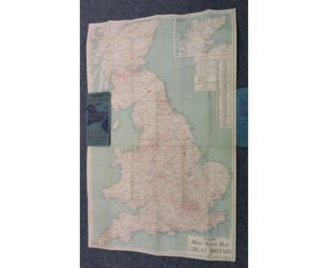
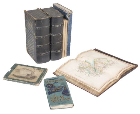
Folding Maps. A Collection of six maps, mostly 19th-century, including Kirkwood (Robert). Map of Scotland constructed and engraved from the best authorities by Robert Kirkwood..., William Blackwood, Edinburgh, Smith & Son, Brash & Reid, J. & A. Duncan and F. Orr, Glasgow, and W. Faden, London, 1816, engraved map with contemporary outline colouring, sectionalised and laid on linen, inset maps of The Orkney and the Shetland Islands, inset panels describing the navigable rivers, population density, canals and mountains, the route of Prince Charles as he fled after the battle of Culloden is highlighted in green, very slight staining, three publisher's labels to the verso of the map, one describing the route of Prince Charles after his defeat at the battle of Culloden, one showing a triangular table of distances between towns and cities and an explanatory key plan, 705 x 575 mm, contained in a contemporary marbled card slipcase with a decorative engraved title label to the upper cover with a later 19th-century ownership signature, worn at the extremities, with Cary (John). An untitled Map of Central England, 1832, large scale engraved map with contemporary outline colouring, sectionalised and laid on linen, covering parts of Warwickshire, Northamptonshire, Huntingdon, Hertfordshire, Oxfordshire and Gloucestershire, a few sheets partially detached from the linen, marbled endpapers, 1000 x 1880 mm, contained in a contemporary marbled card slipcase with a printed key map to the upper cover, slipcase worn and frayed at the extremities, plus Walker (J. & C.). Map of the Peninsula of India, comprising the whole of the Madras Presidency and portions of the adjacent territories of Bengal and Bombay, derived from the latest surveys and other information collected by Lt. Colonel F. H. Scott, Quarter Master General of the Madras Army, ..., 2nd Edition, Madras, 1863, engraved map with contemporary outline colouring, sectionalised and laid on linen on two sheets, northern sheets with some marginal ink staining, later ink stamped ownership signature to verso, each sheet approximately 660 x 1000 mm, marbled endpapers, and George Philip & Son. Philips' Main Road Map of Great Britain, circa 1920, colour printed folding map, laid on linen, inset map of Northern Scotland, very slight staining, 870 x 550 mm, publisher's decorative printed paper wrappers, with Laurie (Robert & Whittle, James). Laurie & Whittle's New Traveller's Companion exhibiting a complete and correct survey of all the direct and principal cross roads in England Wales and Scotland; as far north as Edinburgh and Glasgow...., 1806 [or later], double-page title, advertisement, index and table of explanation all present, lacking the general map of England & Wales, 24 (of 25) engraved road maps, all with original hand colouring, slight offsetting, heavily stained and dust-soiled throughout, trimmed at lower margin with some loss to the publishing details, marbled endpapers, contemporary 'envelope style' limp morocco, slight wear to extremities, oblong 8voQTY: (6)
Lot 179
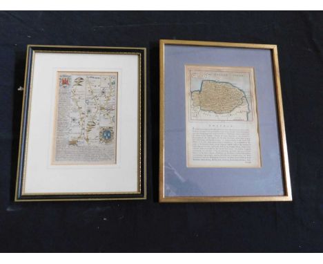
* Ogilby (John). The Road from Bristol co. Glouc. to Banbury com. Oxon. circa 1698, hand-coloured engraved strip road map, some spotting and toning, 330 x 440 mm, mounted, framed and glazed, together with Morden (Robert). Warwickshire [and] Cumberland [1695 or later], two hand-coloured engraved maps, Cumberland toned and with some tape staining, each approximately 365 x 425 mm, framed and glazed, with Saxton (Christopher & Hole G.). Eboracensis Comitatis pars Occidentalis vulgo West Riding [1637], hand-coloured engraved map, strapwork cartouche, 265 x 320 mm, mounted, framed and glazed, plus Moule (Thomas). Oxfordshire [and] Norfolk], circa 1845, two hand-coloured engraved maps, Norfolk laid on later card, Oxfordshire with an old fold, each approximately 265 x 205 mm, framed and glazed, and a facsimile Thomas Moule map of GloucestershireQTY: (7)NOTE:The John Ogilby map is sheet 55. it commences at Bristol and passes through Chipping Sodbury, Tetbury, Cirencester, Barnsley, Burford, Shipton-under-Wychwood and Bloxham and ends at Banbury.
Lot 212
* Warwickshire & Leicestershire. Saxton (Christopher), Warwic Lecestriaeq. Comita Civitat. Oppidoru. Villaru. Fluminu. Ceterarumq. Rerum omnium in eisdem memorabilium, nova, veraq. descriptio [1579], map engraved by Lenaert Terwoort with contemporary hand colouring, large strapwork cartouche surmounted by the English lion and Welsh dragon, ornate strapwork mileage scale with an additional heraldic crest of Thomas Seckford, very slight spotting, 390 x 520 mm, mounted, framed and glazedQTY: (1)NOTE:The first printed map of Warwickshire and Leicestershire. Unusually, for a sixteenth-century map, a road (Watling Street) is clearly marked and named, possibly because the road marked the county boundary.
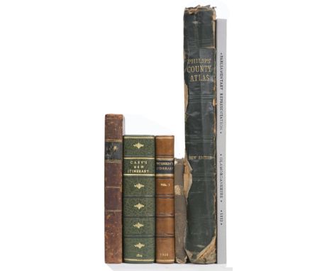
Lot 74
Lewis (William), Lewis's New Traveller's Guide, and Panorama of England and Wales. Containing Forty-Four Superior Maps, with all the direct and cross-roads, and objects of interest, and the distance of each principal place from London, including much information useful to all Travellers, London: William Lewis, 1836, engraved map frontispiece of England & Wales and 42 engraved maps (as called for, including maps of North & South Wales, map of Yorkshire folding), letterpress title dust and finger soiled with small tear, publishers cloth with printed label to the upper siding, worn and rubbed, small 8vo, together with Paterson (Captain Daniel). Paterson's British Itinerary..., volume 1 (only of 2), Bowles & Carver, 1800, calligraphic title page, engraved map frontispiece of England & Wales, 340 uncoloured engraved strip road maps, printed two to a page and back-to-back, contemporary calf, re-backed, worn at extremities, 8vo, with Cary (John). Cary's New Itinerary: or an Accurate Delineation of the Great Roads, Both Direct and Cross throughout England and Wales..., 8th edition, 1819, folding engraved map frontispiece of England and Wales, some splits to old folds, 6 uncoloured folding engraved regional maps, modern half morocco gilt, 8vo, plus Boys (John). General View of the Agriculture of the County of Kent ..., to which is added, a Treatise on Paring and Burning, 2nd edition,1805, folding map frontispiece with contemporary hand-colouring, slightly browned, folding table and two uncoloured engraved plates, bookplate of Baron Northwick, contemporary half calf, some wear, 8vo, and Dawson (Lt. Robert). Parliamentary Representation Glamorganshire, 1832, containing 12 engraved town plans, all with contemporary outline colouring, modern half cloth, slim upright folio, with George Philip & Son (publishers). Philip's Atlas of the Counties of England..., circa 1920, 48 (complete as list) double-page colour lithographic county maps, index bound at rear, publisher's gilt cloth, spine partially detached, heavily worn and frayed, folioQTY: (6)
Lot 566
FOUR BOXES AND LOOSE BOARD GAMES, MATCHBOX COLLECTION, BOOKS, VINTAGE SOAPS, ETC, including an automapic road map of Great Britain advertising 'Gilmour Painting Contractors' a frameless mirror, a H. Chilton modern oil on canvas landscape in a gilt frame, boxed GAF projector, small collectables, brass Mickey Mouse money box and other brass animals, boxed carpet bowls, cased backgammon sets, camera tripod, etc (4 boxes and loose)
Lot 139
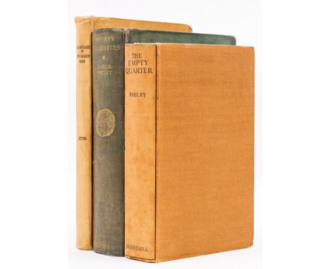
Middle East.- Philby (Harry St. John Bridger) The Empty Quarter, first edition, frontispiece, plates, 3 folding maps, 2 at end, scattered faint spotting, previous owner's ink inscription, bookplate, original cloth, slight bumping to corners and extremities, 1933; Sheba's Daughters, first edition, frontispiece, folding map at end, split to folds, tape repairs to verso, scattered spotting, bookplate, original cloth, light mottling, slight bumping to corners and extremities, 1929 § Dutton (E. A. T.) Lillibullero or The Golden Road, bookplate, original cloth, slight bumping to corners and extremities, Zanzibar, 1947; 8vo (3).
Lot 558
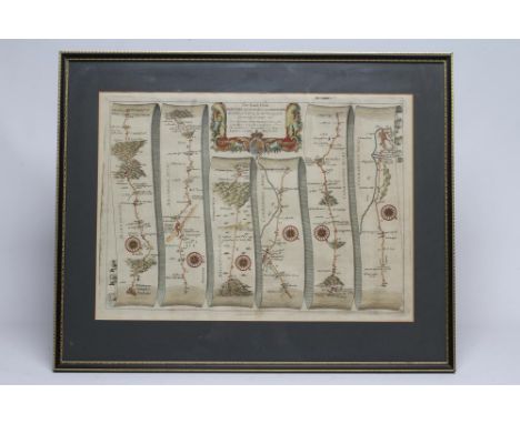
JOHN OGILBY (1600-1667), "London to Montgomery, North Wales", hand coloured engraved road map with figural title cartouche, 12 1/2" x 17 1/2", together with three others, similar, "Carmarthen to Aberistwith" and "Prestaine to Carmathen" and "Monmouth to Llandbeder", Hogarth frames (4) (Est. plus 21% premium inc. VAT)Very good condition, no foxing, staining or tears
Lot 295
FIVE 18TH-19TH CENTURY PRINTED MAPS OF CHINA. Comprising: an example by H. A. Chatelain, HABILLEMENS D'HOMMES & DE FEMMES DIVERSE PROVINCES DE LA CHINE, Amsterdam circa 1720, Copperplate uncoloured, 370 by 430mm (14.5 by 17 inches), a map by T. Bowen, London 1775, THE NORTHERN ARCHIPELAGO ... IN THE SEAS OF KAMCHATKA..., Copperplate uncoloured, 170 by 235mm (6.75 by 9.25 inches), a map by Lizars CHINA, Edinburgh circa 1842, steel plate, original outline colour, 395 by 445mm (15-5 by 17.5 inches), a map of CHINA by G. H. Swanston & J. Bartholomew, Edinburgh, London & Dublin, A Fullarton & Co. circa 1860, coloured steel plate, 412 by 535mm (16.25 by 21 inches), and a map by W. F. Mayers, London / Hong Kong 1867, FROM TUNGCHOW TO PEKING, uncoloured Lithograph, 180 by 410mm (7 by 16.25 inches) (5)The first (Chatelain, Habillemens D’Hommes & De Femmes Diverse….) Finely engraved. A decorative and elaborate plate from Henri Abraham Chatelain's 'Atlas Historique' illustrating and describing Chinese people of all ranks and regions. Also displayed is a Jesuit Priest and the monumental bridge connecting two mountains in Xensi province.The second (Bowen, The Northern Archipelago…) Engraved by Thomas Bowen and published in the 'London Magazine', this map purports to illustrate the recent Russian discoveries in the northeast Pacific, showing the Aleutian Islands and a large 'Alaschka Island' off the mainland of North America. Trimmed close and laid on old paper. Jolly, Maps in British Periodicals I, LOND-306.The third (Lizar, China) An attractive and detailed map of China, including Korea, Taiwan and Hainan. Original outline colour delineates the districts. A note on the 'Chinese Wall' appears at the upper left, noting that it is 'so broad, that 5 or 6 Horsemen may travel abreast on the top'.The fourth (Swanston & Bartholomew, China) An attractive and detailed map of all China with inset details of Chusan and the estuary of the Canton River from Canton to Macao and Hong Kong.The fifth (Mayers, From Tungchow to Peking) William Frederick Mayers was one of a number of British Consular officials active in the major ports and towns in the Far East during the mid-nineteenth century. His work "Treaty Ports Of China and Japan" was a source of much valuable information for visitors whether in the pursuit of trade or as tourists, and included detailed folding maps of many of those trading ports featured. Published in London and Hong Kong. This map shows in good detail the road from the town of Tungchow to Peking's outskirts, approximately 14 miles with remarks as to the road surfaces, ie whether 'Stone Paved' or not. Printed in light scarlet ink on thin rice paper with backing to old fold weakness.
Lot 9062
A quantity of local interest sale particulars, sale posters etc, including 'Ashwellthorpe, Fundenhall, and Wreningham. Norfolk. Highly Attractive Residential and Agricultural Estates', 1918 sale particulars, TW Gaze & son, large folding map, original printed wraps, 'The Uplands, Ipswich, 1908', sale particulars, folding map, original printed wraps (worn), Yew Tree & Grove Farms, Brundish, Suffolk, 1930, map, orig. printed wraps, plus others Stradbroke, Stowmarket, Woodbridge, Six Farms Bunwell/Aslacton/Diss Heywood/Carleton Rode/Gt Moulton/Tharston, 1954, 2 folding maps in rear pocket, orig. printed wraps, Gislingham, Mildenhall (9); plus sale posters Roydon Road, Diss; Fersfield and Bressingham; Salhouse, Mundesley; Rushmere (5), various sizes (14)
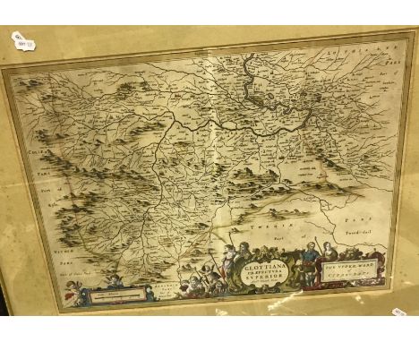
Lot 509
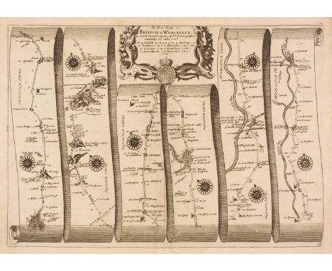
AFTER JOHANNES BLAEU & TIMOTHY PONT "Glottiana - the upper ward of Cyds-dayi" black and white engraved map, later coloured. 40 cm x 54 cm together with AFTER W & J BLAEW "Herefordshire" black and white engraved map, later coloured with French text verso, 41.5 cm x 50 cm together with AFTER E HASTED "A map of the Hundreds of Stowing Street and Heane ... " black and white engraved map, later coloured, 46 cm x 38.5 cm and AFTER JOHN OGILBY "The road from Bristoll to Worcester" black and white engraved strip map, later coloured, 32 cm x 45 cm CONDITION REPORTS These are originals. Glottiana is framed and glazed. The others not - see images for further detail
Lot 842
NINETY SEVEN TITLES RELATING TO ANTIQUE INDIAN ARMS AND ARMOUR, ART AND HISTORY, comprising 'Indian Arms and Armour Vol. 1', G N Pant, 1978 with DW; 'The Adventures of Hamza', large V & A Exhibition book of 16th century illustrations, with DW (new condition, sealed); 'An Illustrated Handbook of Indian Arms', Hon. W Egerton, W H Allen 1880 (rebound); 'Catalogue of Urdu Books in the India Office Library 1800-1920', S Al-Din Quraishi, British Library 1991; 'Catalogue of the Collection of Indian Arms . . . now in the India Room at Marlborough House 1898', C Purdon Clarke 1898 (photocopy); 'Economic Products of India Exhibited at the Calcutta International Exhibition 1883-84', G Watt (reprint, soft covers); 'Sword of the Raj - the British Army in India', R Beaumont 1977 with DW; 'Palaces of the Raj', M Bence-Jones 1973 with DW; 'A Man of the Enlightenment in Eighteenth Century India - the Letters of Claude Martin 1766-1800', R Llewelyn-Jones (Ex. Public library); 'Indian Miniatures', M Bussagli 1969 with DW (Ex. Public library); 'Arts and Crafts in India', Cooper and Gillow 1996, soft covers; a large road map of India d.1940; and approx. eighty five assorted Islamic and Indian sale catalogues from Sotheby's, Christies and Bonhams 1976-2013. Average good condition (97).
Lot 200
A BOX OF 19TH AND 20TH CENTURY MAPS AND BOOKS ETC, to include a leather bound Brookes's Gazetteer with eight maps, published 1802, History Gazetter and directory of Staffordshire by William White 1851, lacks map of the county, 'Riviera' by C.B. Black with maps published 1913, two reproduction copies of 'Britannia Volume the First' by John Ogilby published by Duckham 1939, The Biblical Atlas and Scripture Gazetter with maps circa 1852, incomplete county atlases, Geographica South East England Clear road map, nine Crutchley's county maps, pictorial map of Edinburgh, London map 'The Registration Districts of the Metropolis 1843, cloth backed 'Genealogical Chart of the Kings and Queens of England - from the reign of William the Conqueror to William the Fourth', together with two junior stamp albums and a watercolour showing a view of Lichfield Cathedral by Harry Gibberd etc
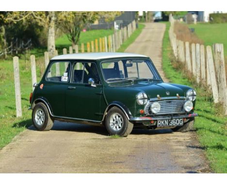
Lot 167
1969 Morris Mini Cooper Mk. II Transmission: manualMileage:20644To many, its designer Alec Issigonis included, the notion that the Mini might have a future as anything other than basic transport was an anathema, and the idea of a high-performance version was laughable. One man though, saw it quite differently. Racing car manufacturer John Cooper already knew quite a bit about tuning BMC's A-Series engine - he was running the company's Formula Junior effort at the time - and a test drive in a prototype Mini convinced him of the car's competition potential. The result, launched in September 1961, was the Mini Cooper, a car that offered a size/price/performance package that was nothing short of miraculous. The Mini Cooper soon established its credentials as a rally and race winner, and the stage was set for even faster versions. This fabulous historic rally prepared Mini Cooper Mk. II has been built to full Cooper S specification with twin tanks, disc brakes and 1293 engine with twin SU carburettors. Presented in British Racing Green, this example is described as a very solid and well prepared car, used successfully for club road rallys and Historic rally events during the last decade, with many class wins and one championship win. Our vendor acquired the vehicle in 2020 and has been using it for speed events, sprints & hillclimbs but admits it is far more capable for the historic rallys it was designed for. The engine and transmission were built by Bill Richards Racing; the engine is a 1293cc unit with twin SU's, 12G940 35.6mm Inlet and 30mm exhaust, Piper 285 camshaft and Powermax pistons coupled with a close ratio straight cut gearbox with limited slip differential. The suspension and brakes consist of Hi-Lo suspension, adjustable shock absorbers, 5x10 alloys, Minifin rear drums with Cooper 'S' front discs and calipers and a 'fly off' handbrake. Safety equipment includes bucket seats and harnesses, full safety devices, roll cage, long alloy sump guard, plumbed in and handheld fire extinguishers and a master electrical cut out. There are also map lights and rally trip meters ready for the navigator. Aesthetically, the car has period Lucas spotlights and a works style dash. Offered with lots of history including the build specification for the engine, wiring diagram for the custom loom, folders full of receipts and various photographic pieces of its history coupled with a Heritage certificate. An incredibly capable car is fantastic fun and a relatively inexpensive Historic rally competitor or fast road example.
![Taylor [George] and Skinner [Andrew].Taylor & Skinner's Survey of the Roads of Scotland on an Improved Plan: To which is](https://cdn.globalauctionplatform.com/a9e882e2-8e1f-4a26-b73a-af1800e32cf4/10a6d363-4d36-4175-a91e-af5300b9ef2e/468x382.jpg)
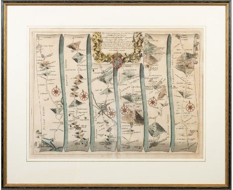
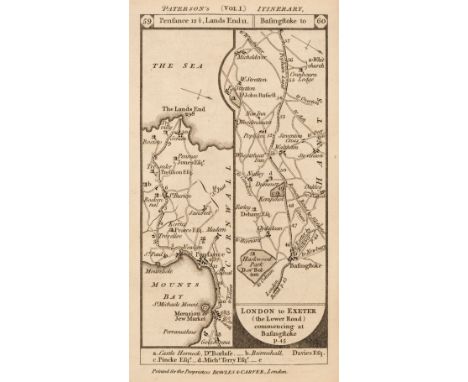
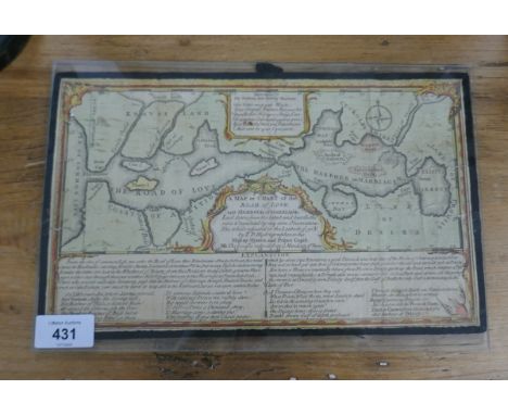
Lot 2139
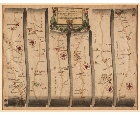
Taylor [George] and Skinner [Andrew].Taylor & Skinner's Survey of the Roads of Scotland on an Improved Plan: To which is Prefixed an Accurate Map of Scotland and the New Roads since the Survey was taken.Edinburgh: Thos. Brown, no date [c.1790], engraved title, 178 road maps printed double sided including two on fold-out plate, 8 page index, lacking general map, marginal plate numbers cropped, some light foxing and offsetting throughout, morocco gilt binding. [ESTC N52047];Wyld (James), Scotland with its Islands, Drawn from the Topographical Surveys .., no date, hand-coloured folding map in 24 sections, mounted on linen, 843mm x 595mm, slipcase;Geikie (Sir Archibald), Geological Map of Scotland .., James Bartholomew, no date, folding colour map in 24 sections, mounted on linen, 810mm x 707mm, pin holes in margins, surface abrasion to top corner, bound in cloth with Explanatory Notes (1910). Another copy of Explanatory Notes (1892) loosely inserted. (3)

Lot 439
A TRAY OF LOOSE AND BOXED LEGO ITEMS, to include a 4100 designer set (boxed), a Lego system road map board with metal finishes to the corners, worn to the edges, a Lego system base piece 799 in grey along with three others inside original sleeve and a selection of loose Lego pieces and figures to unknown models, some torn instructions in boxes, some pieces have been partially constructed
Lot 546
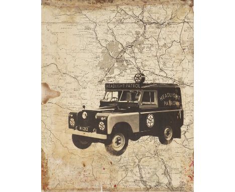
A series of 1960s 'Headlight patrol' breakdown service advertising hoardings,photographic images of a liveried Series 2 Landrover and uniformed officer, together with another with a road map and staff152 x 122cm (5)Condition ReportAll with damp damage to the borders, two with more damage to the centre top edge and one side on another losing some of the image.
Lot 3518
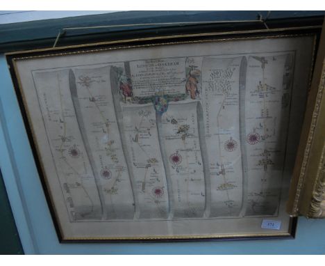
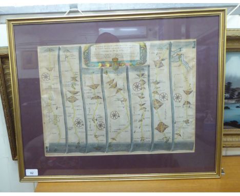
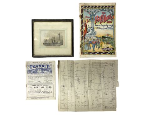
18th century Ogilby type route map entitled 'A Survey of the Road from London to Flamborough Head Yorkshire' being Plate XVI the section from Stilton to Flamborough Head including Hull, Beverley etc 33 x 37cm, unframed and folded; hand-coloured 19th century vignette entitled 'The Wilberforce Monument and St. John's Church Hull', Hogarth frame; The Port of Hull 1908 Transit Annual; and another copy of The Transit Journal July 15th 1909 (4)Condition Report:Map - generally in good uncoloured condition just a little grubby from age and crease marks where folded.Vignette - slight foxing and a little grubby.Transit - condition is consistent with age and use but staples are rusty.
Lot 168
Folding Maps. A collection of eight maps, 19th century, including Ordnance Survey. Map of Kent, on a scale of 25 inches to the mile, circa 1890, 10 lithographic maps with contemporary outline colouring, sectionalised and laid on linen on ten sheets, each sheet approximately 685 x 1025 mm, each with green cloth endpapers, contained in two half morocco bookboxes, rubbed and worn at extremities, together with Kirkwood (Robert). Map of Scotland constructed and engraved from the best authorities by Robert Kirkwood..., William Blackwood, Edinburgh, Smith & Son, Brash & Reid, J. & A. Duncan and F. Orr, Glasgow, and W. Faden, London, 1816, engraved map with contemporary outline colouring, sectionalised and laid on linen, inset maps of The Orkney and the Shetland Islands, inset panels describing the navigable rivers, population density, canals and mountains, the route of Prince Charles as he fled after the battle of Culloden is highlighted in green, very slight staining, three publisher's labels to the verso of the map, one describing the route of Prince Charles after his defeat at the battle of Culloden, one showing a triangular table of distances between towns and cities and an explanatory key plan, 705 x 575 mm, contained in a contemporary marbled card slipcase with a decorative engraved title label to the upper cover with a later 19th-century ownership signature, worn at the extremities, with Cary (John). An untitled Map of Central England, 1832, large scale engraved map with contemporary outline colouring, sectionalised and laid on linen, covering parts of Warwickshire, Northamptonshire, Huntingdon, Hertfordshire, Oxfordshire and Gloucestershire, a few sheets partially detached from the linen, marbled endpapers, 1000 x 1880 mm, contained in a contemporary marbled card slipcase with a printed key map to the upper cover, slipcase worn and frayed at the extremities, plus Walker (J. & C.). Map of the Peninsula of India, comprising the whole of the Madras Presidency and portions of the adjacent territories of Bengal and Bombay, derived from the latest surveys and other information collected by Lt. Colonel F. H. Scott, Quarter Master General of the Madras Army, ..., 2nd Edition, Madras, 1863, engraved map with contemporary outline colouring, sectionalised and laid on linen on two sheets, northern sheets with some marginal ink staining, later ink stamped ownership signature to verso, each sheet approximately 660 x 1000 mm, marbled endpapers, and George Philip & Son. Philips' Main Road Map of Great Britain, circa 1920, colour printed folding map, laid on linen, inset map of Northern Scotland, very slight staining, 870 x 550 mm, publisher's decorative printed paper wrappers, with Laurie (Robert & Whittle, James). Laurie & Whittle's New Traveller's Companion exhibiting a complete and correct survey of all the direct and principal cross roads in England Wales and Scotland; as far north as Edinburgh and Glasgow...., 1806 [or later], double-page title, advertisement, index and table of explanation all present, lacking the general map of England & Wales, 24 (of 25) engraved road maps, all with original hand colouring, slight offsetting, heavily stained and dust-soiled throughout, trimmed at lower margin with some loss to the publishing details, marbled endpapers, contemporary 'envelope style' limp morocco, slight wear to extremities, oblong 8voQTY: (8)
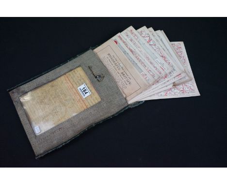
Lot 184
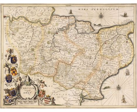
Kent. Fourteen maps of Kent, 18th & 19th century, including Jansson (Jan). Cantium Vernacule Kent, Amsterdam, circa 1650, engraved map with contemporary outline colouring, some oxidization to old watercolour causing some cracking and splitting to the printed surface, 380 x 500 mm, mounted, framed and double glazed, Latin text on verso, together with Andrews (J. & Wren M.). A Plan of the City of Canterbury Surveyed, 1768, hand-coloured engraved city plan, old folds, several prepared closed tears, 485 x 600 mm, with Cary (John). A Map of Kent from the best authorities, John Stockdale, 1805, engraved map with contemporary outline colouring, old folds, some staining along one fold, 355 x 515 mm, with other regional, road and county maps of Kent, including examples by or after Parker, Sayer & Bennet and Mount & Page and three sheets from John Andrew's large scale map of Kent, various sizes and condition, plus London Ward Plans, originally published in Stow's Survey Of London: A Mapp of the Parish of St Giles..., Cheape Ward..., [and] A Mapp of Lime Street Ward, circa 1755, together three hand-coloured engraved maps, various sizes and condition, and two topographical views in Kent, a plan of London taken from Thornton's New and Complete History and Survey of London & Westminster, a theatre bill for Drury lane, a folding view of London and Westminster, and a 19th-century map of North AmericaQTY: (23)
Lot 205
Ogilby (John). Britannia: or the Kingdom of England and Dominion of Wales actually survey'd..., Abel Swall, 1698, engraved title page, 23 uncoloured engraved double-page strip road maps only, some marginal worming, a few maps torn and with marginal fraying, one map (sheet 6) torn in half, slight dust soiling and staining, some maps detached, contemporary panelled calf, re-backed, heavily worn and frayed, folioQTY: (1)NOTE:The maps comprise numbers, 6, 9, 33, 35, 39, 44, 46, 47, 50, 52, 56, 59, 62, 63, 66, 68, 72, 73, 75, 76, 78, 87 & 98. Sold as a collection of maps, not subject to return.
![Perrot (Aristide). A collection of 52 county maps [1824], 52 engraved miniature maps with contemporary outline colouring, com](https://cdn.globalauctionplatform.com/2387bab2-4269-4067-987a-af3a01109e57/0de5de78-7aab-43d4-b24f-af4000b0c543/468x382.jpg)
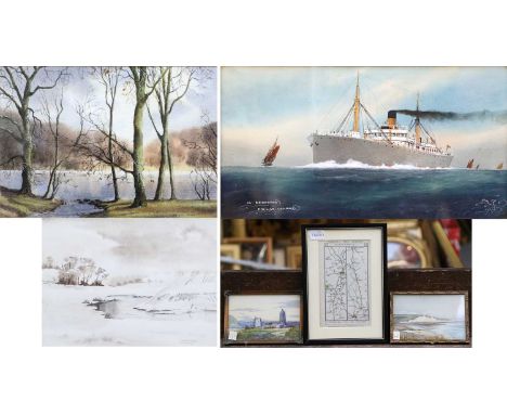
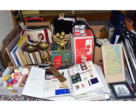
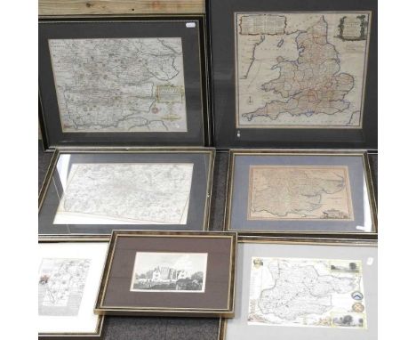
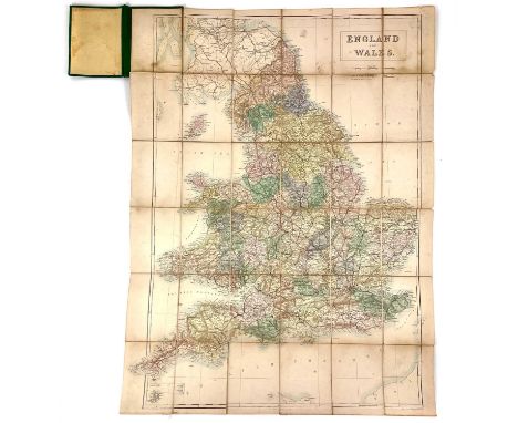
Lot 206
Perrot (Aristide). A collection of 52 county maps [1824], 52 engraved miniature maps with contemporary outline colouring, comprising 15 of Scotland, 18 of Ireland, 6 of Wales, 16 of England and one folding map of the British Isles, very occasional marginal spotting, 2 mounted, together with 14 uncoloured aquatint topographical views from the same series, each approximately 120 x 80 mm, with Bowen (Emanuel & Owen William). Britannia Depicta or Ogilby Improv'd..., 1720, printed title page, two leaves of tables, 34 (only) uncoloured engraved strip road maps, the majority printed back-to-back, contemporary calf, lacking spine and upper board rubbed and worn, 8voQTY: (100)NOTE:Sold as a collection of maps, not subject to return.
Lot 46
Cary (John). Cary's Survey of the High Roads from London to Hampton Court, Ware, Bagshot ... wherein every Gentleman's Seat, situate on, or seen from the road, (however distant) are laid down, with the name of the possessor; to which is added, the number of Inns ... also, The different Turnpike Gates..., 2nd edition, London: J. Cary, 1st July, 1799, engraved title and explanation page, folding general map of London and environs, plan of London depicting the turnpike gates, and 80 strip maps (complete) on 40 sheets, all maps with contemporary hand-colouring, 20th-century sheep, joints cracked, light wear to extremities, slim 4toQTY: (1)NOTE:The first edition was published on 1st July, 1790.
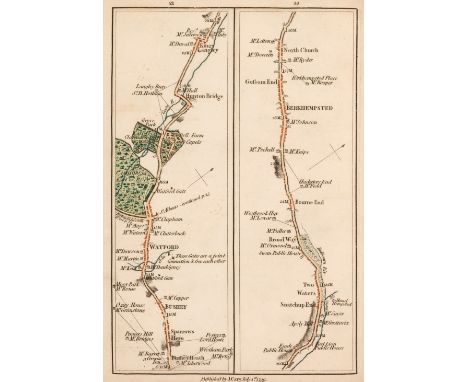
![[Fisher, Thomas]. The Kentish Traveller's Companion..., 4th edition, Canterbury: Simmons, Kirkby and Jones, 1794, folding tab](https://cdn.globalauctionplatform.com/2387bab2-4269-4067-987a-af3a01109e57/15177aae-3316-479c-aa6f-af4901194b00/468x382.jpg)
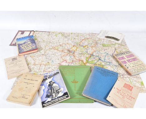
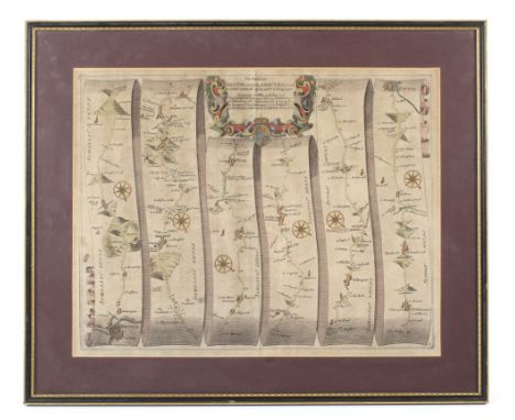
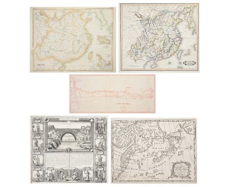
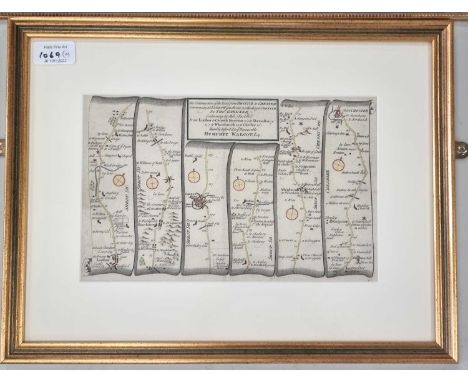
Lot 53
[Fisher, Thomas]. The Kentish Traveller's Companion..., 4th edition, Canterbury: Simmons, Kirkby and Jones, 1794, folding table frontispiece, three engraved folding maps, contemporary signature at head of title dated 1798 with related armorial bookplate of Sir Edward B. Baker Bt. to upper pastedown, contemporary half calf, neatly rebacked with gilt decorated spine and morocco title label, 12mo in 6s, together with:Easton (James), The Salisbury Guide, giving an account of the antiquities of Old Sarum ... the ancient and present state of New Sarum, or Salisbury ... with a copious description of the Council-House ... the Cathedral, Stonehenge, and seats of the nobility and gentry..., 18th edition, Salisbury: Printed and sold by J. Easton, 1796, publisher's advertisement leaf at front, engraved folding frontispiece, four plates (3 folding) and one engraved strip road map, one woodcut illustration, few early manuscript notes, front free endpaper inscribed 'from Mr James Easton the Editor, Nov. 12 1796', contemporary calf, rebacked, board corners worn and showing, 12mo,Woolmer (Shirley), A concise account of the city of Exeter, its neighbourhood, and adjacent watering places..., 2nd edition, Exeter: Printed and sold by S. Woolmer, 1811, engraved frontispiece, leaves A3 & A4 misbound, light toning and occasional light spotting, edges untrimmed, original boards, printed title label to upper board, 12mo in 6s,Cheltenham, The New Guide to Cheltenham: being a complete history and description of that celebrated watering place..., Cheltenham: S. Bettison, [1820?], 204 pp., folding engraved frontispiece, additional engraved title, folding engraved map, five uncoloured aquatint plates and one engraved trade advertisement plate, modern calf-backed marbled boards, 12mo in 6s,Brady (John H.), The Dover Road Sketch Book; or, Traveller's Pocket Guide, between London and Dover..., Canterbury: Henry Ward, 1837, engraved folding map frontispiece, eight lithograph strip road maps on four leaves, advertisements at rear, modern half calf, 8vo in 4s,[Feltham, John], A Guide to all the Watering and Sea-Bathing Places; with a description of the Lakes; a sketch of a tour in Wales, London: Richard Phillips, [1803], 49 engraved maps, plates and plan (some folding), upper blank margin of title excised, modern blind-panelled brown morocco, earlier morocco spine labels retained, 12mo in 6s, plus seven other 19th century guides etc.QTY: (13)
Lot 58
Leigh (Samuel). Leigh's New Pocket Road Book of England, Wales and part of Scotland..., London: Samuel Leigh, 1825, engraved frontispiece of the price of posting, additional engraved title, 55 uncoloured engraved maps, and folding map of England & Wales, original straight-grain green sheep with title in gilt to upper board, neatly rebacked, 12mo in 6s, together with 3rd & 4th editions of the same work, published 1831 & 1833 respectively, and Leigh's New Pocket Road-Book of Scotland, London: Samuel Leigh, 1829, folding engraved plan frontispiece of Edinburgh, lacking map, original straight-grain green sheep with title in gilt to upper board, upper board detached, spine torn with loss, worn, 12mo,Cary (John), Cary's New Itinerary; or, an accurate delineation of the great roads... throughout England and Wales; with many of the principal roads in Scotland..., 2nd edition, London: John Cary, 1802, engraved title, dedication leaf and two folding maps, some scattered spotting, all edges gilt, contemporary straight-grain red morocco, silver clasps, 8vo, plus four other similar traveller's itineraries including a worn 1st edition of Cary's New Itinerary, 1798QTY: (9)
Lot 62
Paterson (Daniel). A New and Accurate Description of all the direct and principal cross roads in England and Wales, 7th edition, London: T. Carnan, 1786, double-page engraved map, bound with A Travelling Dictionary: or, Alphabetical Tables of the distance of all the principal cities, borough, market, and sea-port towns, in Great Britain, from each other, 5th edition, London: Thomas Carnan, 1787, contemporary vellum-backed marbled boards, rubbed, 8vo, together with a similar 8th edition of Paterson's Roads published 1789, bound with a 5th edition of A Travelling Dictionary published 1787, in contemporary vellum-backed marbled boards, rubbed, 8vo, plus,McAdam (John Loudon), Remarks on the Present System of Road Making..., 5th edition, carefully revised, with considerable additions, London: Longman, Hurst, Rees, Orme, & Browne, 1822, some light scattered spotting, contemporary half calf, morocco title label to spine, joints a little cracked, slim 8vo,Owen (William), Owen's New Book of Roads; or a description of the roads of Great-Britain..., new edition, London: J. Johnson, & G. & J. Robinson [& others], 1805, folding engraved map, contemporary half calf, maroon morocco title label to spine, 12mo in 6s,Kearsley (George), Kearsley's traveller's entertaining guide through Great Britain..., 2nd edition, London: G. Kearsley, 1803, folding engraved map frontispiece (verso of inner margin strengthened), light scattered spotting, contemporary green vellum-backed marbled boards, corners repaired, 8vo, plus five others similar including Crosby's complete Pocket Gazetteer of England and Wales, new edition, 1818; A General Itinerary of England and Wales, with part of Scotland, by David Ogilvy, 1804; A New and Accurate Description of all the Direct and Principal Cross Roads in England and Wales and part of the Roads of Scotland, by Daniel Paterson, 13th edition, 1803 (two copies); and Cary's New Itinerary..., by John Cary, 6th edition, 1815QTY: (10)
Lot 63
Paterson (Daniel). Paterson’s British Itinerary being a new and accurate delineation and description of the direct, and principal cross roads of Great Britain, 2 volumes, 2nd edition, London: Bowles & Carver, 1800, double-page engraved general map, engraved title-pages, dedication leaf and 386 engraved strip road-maps on 97 leaves (rectos and versos; map numbering included in pagination), minor toning, contemporary calf with contrasting morocco labels, joints cracked with discreet strengthening to upper joint of first volume and vertical crack to spine, 8vo, together with:Paterson (Daniel), A new and accurate description of all the direct and principal cross roads in Great Britain, 2nd edition, corrected, London: T. Carnan, 1772, double-page engraved map, modern calf, 8vo, plus four other editions of Patterson's Roads (12th ed., 1799; 13th ed., 1803; 15th ed., 1811 & 18th ed., [1829?])QTY: (7)


Lot 633
An important piece of early Lotus history. The Earl's Court Motorshow car and still boasting some interesting and unique design features that never made it onto later production cars.The Lotus Elite Type 14, when first launched in 1958, put Colin Chapman and Lotus cars very firmly on the map. It utilised a monocoque construction which meant there was no separate chassis and the body was load bearing, and whilst this was becoming accepted practice, the Elite was the first time it had been attempted in glass-fibre. When combined with independent sporty suspension, a ZF gearbox, disc brakes, a Coventry Climax all-aluminium engine and a very low drag coefficient of just 0.29 - it made for a great drivers car. So much so that by production end in 1963 over one thousand had been produced and Lotus was now a credible British sports car manufacturer.The lilac-hued Type 14, chassis #1008 on offer here is a rather special car and an important part of early Lotus history. It is the eigth pre-production prototype Elite and was displayed on the Lotus stand at the 1958 Earls Court Motor Show. The car that followed it, #1009, is recognised as the first genuine production car and was originally purchased by one of Colin Chapman's favoured customers and friends, jazz legend Chris Barber. Initially, 008 was used by the then Lotus works driver, Keith Hall, for road use until 1960. This example and the other prototypes were being sold or lent to selected racing drivers in the late 1950s to gain publicity whilst at the same time discovering any weaknesses before full production started.After Keith Hall’s time with the car, chassis 008 passed in 1960 to its first private owner, who staggeringly kept it for the following 60 years! Under this long-term ownership the car was preserved in its Motor Show appearance both inside and out, as you can see by the charmingly original patina of the Lilac bodywork and original yellow interior. Documented in the huge accompanying history file are details and letters regarding the installation of a 1,500cc Cosworth-modified Ford engine, with a close ratio gearbox due to the poor reliability of the original 1,220cc Climax. This unit was fitted relatively early in the car's life as you’ll see in the letter dated 9th March 1964 to Mr Costin by the then owner.The result of this change meant a huge improvement in both the reliability and performance of 6 SML as recently confirmed by renowned marque expert, Paul Matty, who told Silverstone recently just how good this car is to drive today. Paul knows the car well and, in fact sold 6 SML to the current owner, who is only the second registered keeper, following his predecessor's 60 years of loyalty to the little Lotus.008 boasts some interesting and unique design features that never made it onto later production, one of which is the fuel tank which is encapsulated in the right front wing. There is an incredible amount of history accompanying this special car, far too much to list here as you can see from some of the accompanying photographs, so we highly recommend interested parties come see the car and the owner's file for themselves to really understand the history and preservation on offer here.By the time Elite production ceased in September 1963, 1,030 examples had been built and Lotus had developed from a company unheard of outside of UK club racing to one of the most famous racing teams in the world. They were about to be crowned F1 World Champions for the first time with Jim Clark, and were seen as established world players in road car manufacture with a mature market presence in the USA and elsewhere. The Elite played a big part in this remarkable feat of automotive industrial growth. It was Lotus' first 'grown-up', credible road car and laid down the foundations of the Lotus business that still exists today.Cars are only original once, and 6 SML needs be preserved and cherished by its next owner. We welcome and encourage any inspection of this important piece of both Lotus and British Automotive history.SpecificationMake: LOTUSModel: ELITEYear: 1958Chassis Number: 1008PRegistration Number: 6 SMLTransmission: ManualDrive Side: Right-hand DriveMake: RHDInterior Colour: YellowClick here for more details and images
Lot 1069
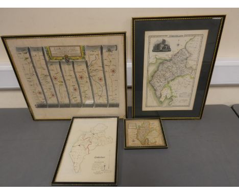
GARDNER, Thomas, 3 strip maps: The Roads from Shrewsbury and Chester to Holywell, 180mm x 280mm; The Road from York to West Chester; and The Continuation of the Road from Bristol to Chester, all c.1719. All hand coloured and in modern gilt frames. With a map of the roads from London to Aberistwith. Hand coloured, no cartographer named. (4)
Lot 221
A fine Second War 1943 ‘Tunisia Campaign’ M.M. group of six awarded to Regimental Sergeant Major F. G. Findley, Royal Army Service Corps, attached No. 6 Commando, who was decorated for his actions at the assault on Djebel Azag, 6 January 1943, against troops from the elite Fallschirmjäger Regiment Barenthin Military Medal, G.VI.R. (T/5041667 W.O. Cl.3. F. G. Findley. R.A.S.C.); 1939-45 Star; Africa Star; France and Germany Star; Defence and War Medals 1939-45, good very fine (6) (6) £3,000-£4,000 --- M.M. London Gazette 23 September 1943: ‘In recognition of gallant and distinguished services in North Africa’. The original recommendation states: ‘During the withdrawal from Djebel Azag on 6 January 1943, T.S.M. Findley repeatedly showed complete disregard for his own safety by covering his section by advancing under fire and throwing grenades. I consider that T.S.M. Findley’s actions were responsible for numerous men reaching safety. Throughout the action he showed a most excellent example to his men. He is over 40 years of age and put up a remarkable performance.’ Frederick George Findley was born in Attleborough, Warwickshire, on 24 August 1902 and attested for the North Staffordshire Regiment at Lichfield in May 1921, seeing service in Gibraltar, Turkey and India before transferring to the Army Reserve in 1928. During the Second World War, Findley served in the Royal Army Service Corps attached to 6 Commando and was decorated for his actions at Djebel Azag where an attempt was made by the British 36th Brigade Group to capture the feature known to the British as Green Hill, on 5 to 7 January 1943. Commanding the Sedjanane to Mateur road in Northern Tunisia, Green Hill was held by men from Fallschirmjäger Regiment Barenthin (German Parachute Infantry) and Witzig’s Parachute Engineers who had fortified the hill with concrete machine gun emplacements, barbed wire and mines. In his report on the ‘Attack on Djebel Azag’, Captain J. A. D. Mayne, Som. L.I., describes how ‘Mand Force’ from No. 6 Commando, comprising Force HQ, No. 1 Troop (complete), 1 Section from No. 2 Troop and one partial section from No. 5 Troop (commanded by Findley) were tasked with the following objectives:
i) To capture and hold “Djebel Azag.”
ii) To assist, by supporting fire, the attack on “Greenhill” and “Si Ayed”.
iii) To establish an Observation Post for a Forward Observation Officer to cover targets on and behind ‘Greenhill” area. Hilary St. George Saunders’ narrative of this action in the Green Beret describes the struggle between No. 6 Commando and the elite German paratroops dug in on the hill: ‘On the 5th January they took part in yet another attack on Green Hill, carried out by the 36th Brigade. Headquarters with one and a half Troops occupied Point 277 to the north-west, the object being to protect the Brigade’s left flank and to harass the enemy’s rear; while a detachment made up of two Troops under Captain Mayne seized Djebel Azag, a height which commanded the main position. To do this they made a ten mile approach march over sodden country, the men carrying heavy loads of ammunition and food for forty-eight hours. They reached their positions soon after dawn and then dug in on the summit as deeply as the rocky ground would allow. Soon after midday the enemy made two attempts to attack them, but were beaten off at long range by accurate and well-sustained small arms fire. The Germans then resorted to mortars, in the handling of which they were exceptionally proficient, and the Commando began to suffer casualties but held on.
During the afternoon Mayne observed that the enemy were forming up to deliver a counter-stroke against the brigade then engaged upon the main assault of Green Hill. His messages brought artillery fire on them and the attack did not develop. At dusk his small force, which had not been reinforced, was concentrated on the summit of the hill. At dawn Mayne’s position soon became serious, for as Lieutenant Cowper and his section were moving to their daylight positions, they were attacked at close range by Germans who had crawled up during the night. Cowper was soon engaging about two companies of the enemy strongly supported by mortars which fired a very accurate barrage. The remainder of the force was now under equally severe pressure and almost completely surrounded. Captain Davies was ordered by Mayne to withdraw headquarters and then cover a general retreat of the force, a manoeuvre which he ‘carried out extremely well.’ That evening they were all back in the tunnel near Sedjenane, the men very tired but cheerful, ‘having done magnificently.’ With a loss of thirty-five of their number they had held a key position for forty eight hours against ‘first-class troops who had been put in as stiffening.’ Though the attack on Green Hill had failed, the small action fought by Mand Force, as Mayne’s detachment was called, provides a good example of what men can accomplish who have passed through Commando training. They had been isolated for two days, in a most exposed position, and subject to galling mortar fire; but they had occupied the attention of four or five times their number who might very well have been employed elsewhere.’ Findley was a parachutist who, during his para course, landed in the top of another soldier’s parachute during a training descent which caused an injury to Findley’s back (a copy of his course report is included with the papers). Post-War he was a member of the Commando Association whose records state that his last rank attained was Regimental Sergeant Major and that he also served in No. 12 Commando. He died in 1960 in Hessingford, Cornwall. Sold with the recipient’s Soldiers’ Service and Pay Book inside which is a hand traced map of Floro, Norway with important sites and German positions marked. This map is suggestive of Findley’s participation in Operation Kitbag, a raid by British Commandos of No. 6 Commando and No. 12 Commando on the town of Floro in Norway during the Second World War - ‘Kitbag’ embarked from Scapa Flow on H.M.S. Prince Charles on 9 December 1941 but after navigational difficulties the raid was eventually called off; the recipient’s Old Comrades Association of the Special Service Brigade membership booklet, signed by the recipient and dated 9 July 1943; Pay Form No. 48 for the recipient’s Military Medal Gratuity of £20; the recipient’s Service and Casualty Form (Part I) dated 9 October 1928; copied research and a photographic image of recipient in uniform.
Lot 457
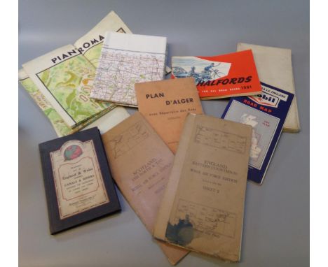
Box of assorted maps including: 'Scotland the Forth & Tay, Royal Airforce Edition, sheet 3', Stanford's Map of England and Wales, Ordnance Survey of Great Britain, 'Pianta Panoramica di Roma', 'D'Alger', Halfords accessories for road users, Mobil road map, LMS map of Europe published by the London Midland & Scottish Railway etc. (B.P. 21% + VAT)
Lot 100
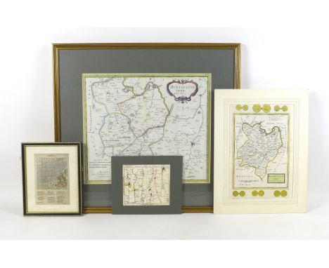
A collection of four maps, one of 'Cambridge-shire', mounted, framed and glazed, 24.7 by 19.6 cm, another of 'Huntingdon-shire' by H. Moll, mounted, 41.8 by 31.8 cm, a 'Bowles's Post-Chaise Companion' page showing the road from London to Stilton, mounted, 19.8 by 23.6 cm, and a map of Huntingdonshire from Camden's Britannia by Robert Morden, framed, mounted, and glazed 57 by 62 cm. (2)
Lot 43
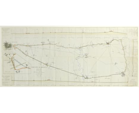
A rare 1907 Florio Cup map of the Brescia circuit, used by Wolsit driver Mark Wild,printed for the 1 September Coppa Florio and the 2 September Coppa della Velocita, with distances marked in Km and road altitude profile printed in the margins, with hand-written notes and comments, old fold marks and creases, 53 x 122, mounted, framed and glazed, the original map envelope is attached to the rear of the frame; together with two period images depicting Wild in Wolsit car '3B' at the event, each card mounted and a page from The Automotor Journal, September 7 1907, depicting an image of Wild overtaking Tomagni, together with Paul Sheldon: A Record of Grand Prix and Voiturette Racing (Volume 1 1900-1925), cover and spine detached from pages. (5)Footnotes:Wolseley prepared three cars for the Coppa Florio race in Italy, they were developed in the shortest possible time. The order for construction was given on July 1, 1907, and the cars were delivered in Italy on August 10th. Before that time the cars were extensively tested at the then brand-new Brooklands circuit. (Brooklands opened on July 7, 1907). The cars were registered under the title 'Wolsit', the Italian subsidiary of the brand. The 3rd Coppa Florio was an eight-lap race on a 'road circuit' measuring 60.51 kilometres length. The partially paved road surface was known to be very fast, but dust was a problem for both cars and drivers. Of the 34 cars that took the start, only 14 would finish. The Italians were victorious: Having led from the start Ferdinando Minoia steered his Isotta Fraschini over the finish line in 4 hours, 39 minutes and 53 second at an average speed: 104.172 kmph. Mark Wild finished in 13th place in a time of 5 hours, 54 minutes and 23 seconds.See pages 56-57 of Paul Sheldon: A Record of Grand Prix and Voiturette Racing (Volume 1 1900-1925).For further information on this lot please visit Bonhams.com
![[MAP]. Ogilby, John (Scottish, 1600-1676). 'The Road from London to Holy Head' [Towcester to Lichfield section], engraved ri](https://cdn.globalauctionplatform.com/287b5566-bf0e-4ed5-a536-aec500a7ec98/3f54630f-a7bf-44d6-b64b-af3b00dcfdff/468x382.jpg)
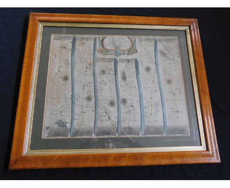
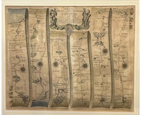
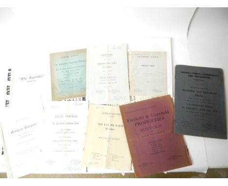
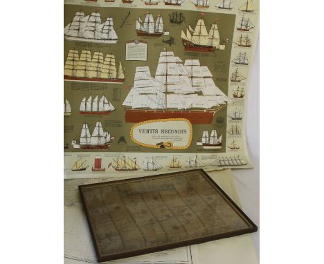
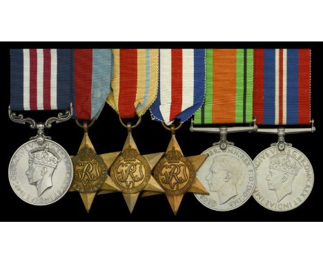
Lot 440
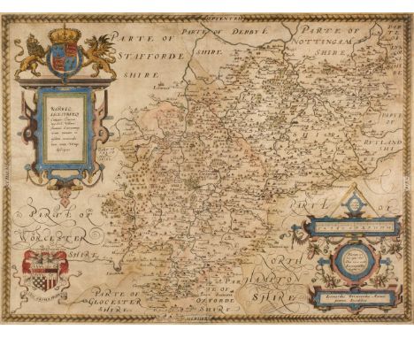
[MAP]. Ogilby, John (Scottish, 1600-1676). 'The Road from London to Holy Head' [Towcester to Lichfield section], engraved ribbon map, hand-coloured, 34.5cm x 44.5cm, framed and glazed. Condition Report : Generally good condition; slightly creased; minor foxing; no obvious tears or repairs; fresh colours. Condition reports are offered as a guide only and we highly recommend inspecting (where possible) any lot to satisfy yourself as to its condition.
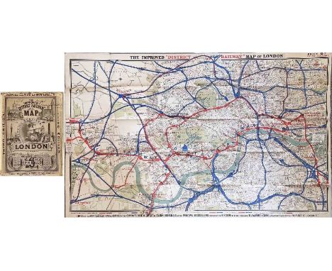
Lot 217
1884 'Improved' District Railway MAP OF LONDON, 3rd edition. A very early Underground map showing the first lines: the District, Metropolitan Railways and the Inner Circle line which was completed that year. Lines over which the District ran are shown in red, other railways in blue. Interesting overprints are the International Health Exhibition at Exhibition Road and, at South Kensington "Authorised South Western Ry West End station". Linen-backed inside cloth covers. Opens out to 42" x 26" (106cm x 66cm). Some wear & annotations on covers, the map is in very good condition. [1]
-
3951 item(s)/page